Blomliknuten hiking trail
Tvedestrand, Norway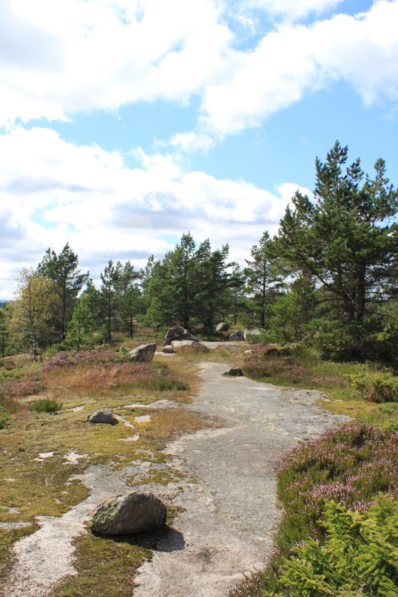
How to get there:
From Birkeland, which is the municipal center in Hægebostad, follow Rv43 northward towards Eiken. Go a short distance and take the first right.
After about 4.5 km you will find a large parking space on the left side of the road a little way before Loka Lake. GPS coordinates for parking is: 58.37076, 7.28205.
Itinerary:
From the parkinglot, follow the road a little further. Then take the first road to the left. Follow the gravel path along the water about 1 kilometre. Then follow the road left which is the end of a parkinglot for cottage owners, and go straight ahead.
At the end of the dirt road there is a sign in the direction of Blomliknuten. Follow the path to the very top. The path becomes wide and is clearly visible. Much of the trail goes on polished and slippery rocks. It is a gradual ascent and it is relatively easy to get to the top.
Destination
Tvedestrand
Country
Norway
Type of experience
Outdoor
Best time to visit
- Spring
- Autumn
- Summer
Nearby stations
- Kragerø Station
- Arendal Station
- Kragerø Ferry
Together, Ravlling and Visit Norway encourage travel in Norway.

Click here to find out more about our partnerships
Ravlling's Conscious experience highlights


Get inspired
Browse around the most wonderful green travel destinations, stays and experiences.
Booking is easy!
Get inspired
Browse around the most wonderful green travel destinations, stays and experiences.
Booking is easy!
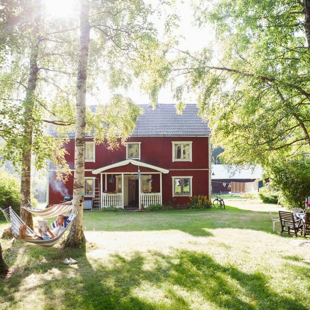
Unique cabins in outdoor Sweden
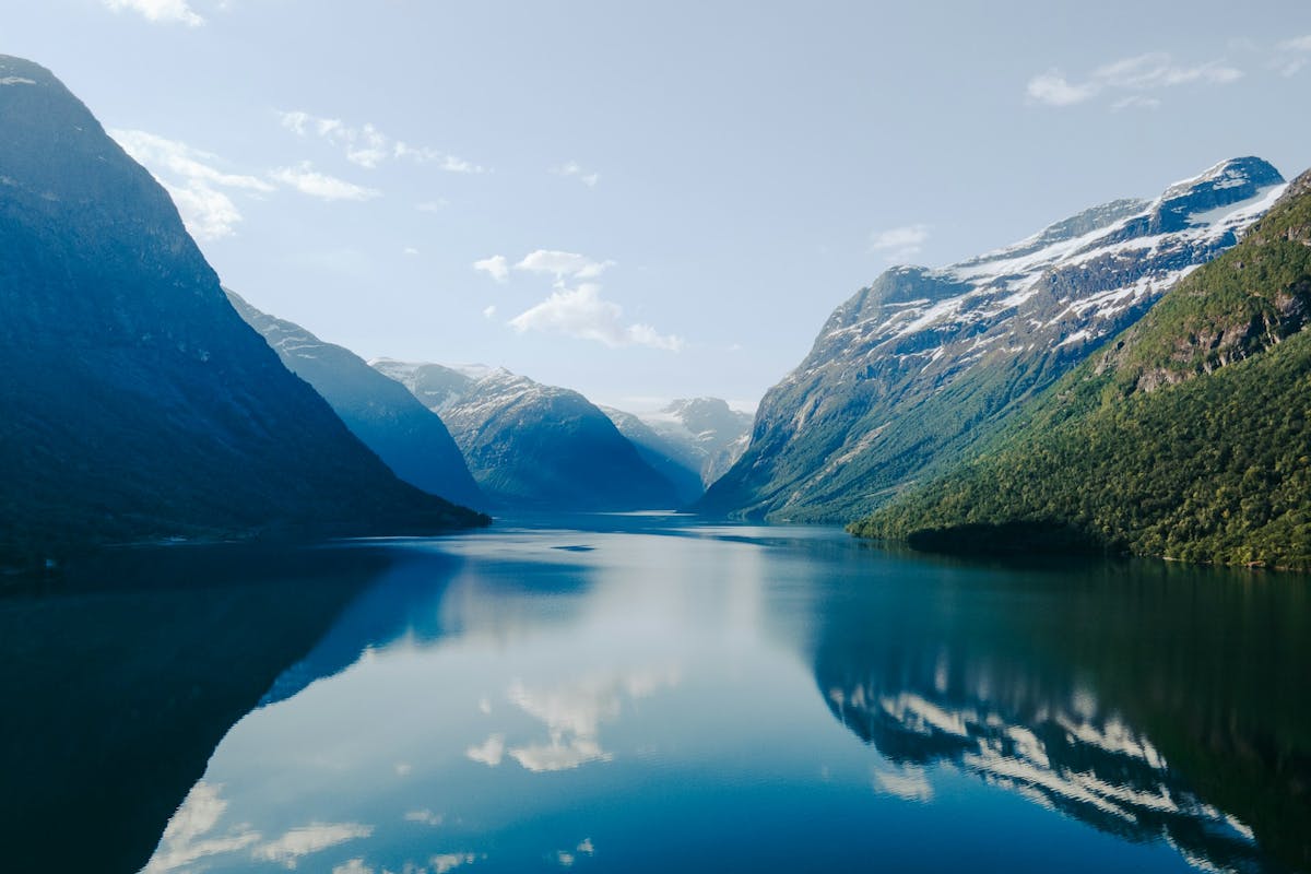
Stunning Fjords of Norway
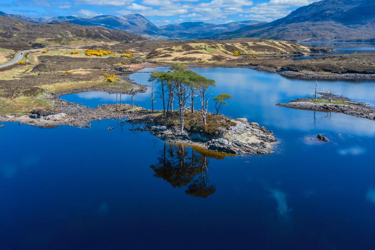
Impressive natural heritage in the Scottish highlands
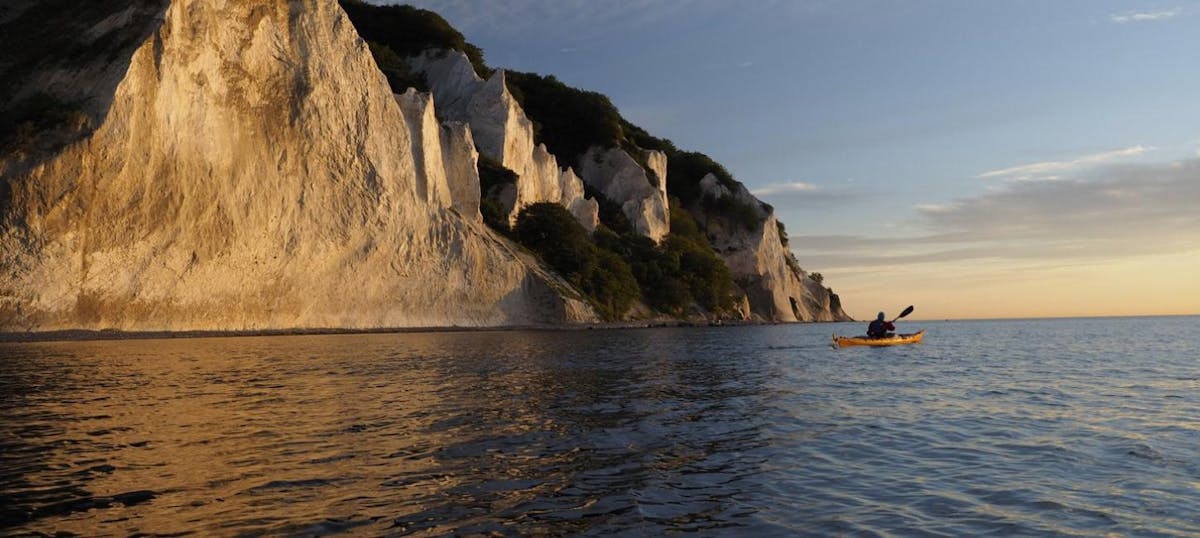
Endless horizons on the coast of Denmark
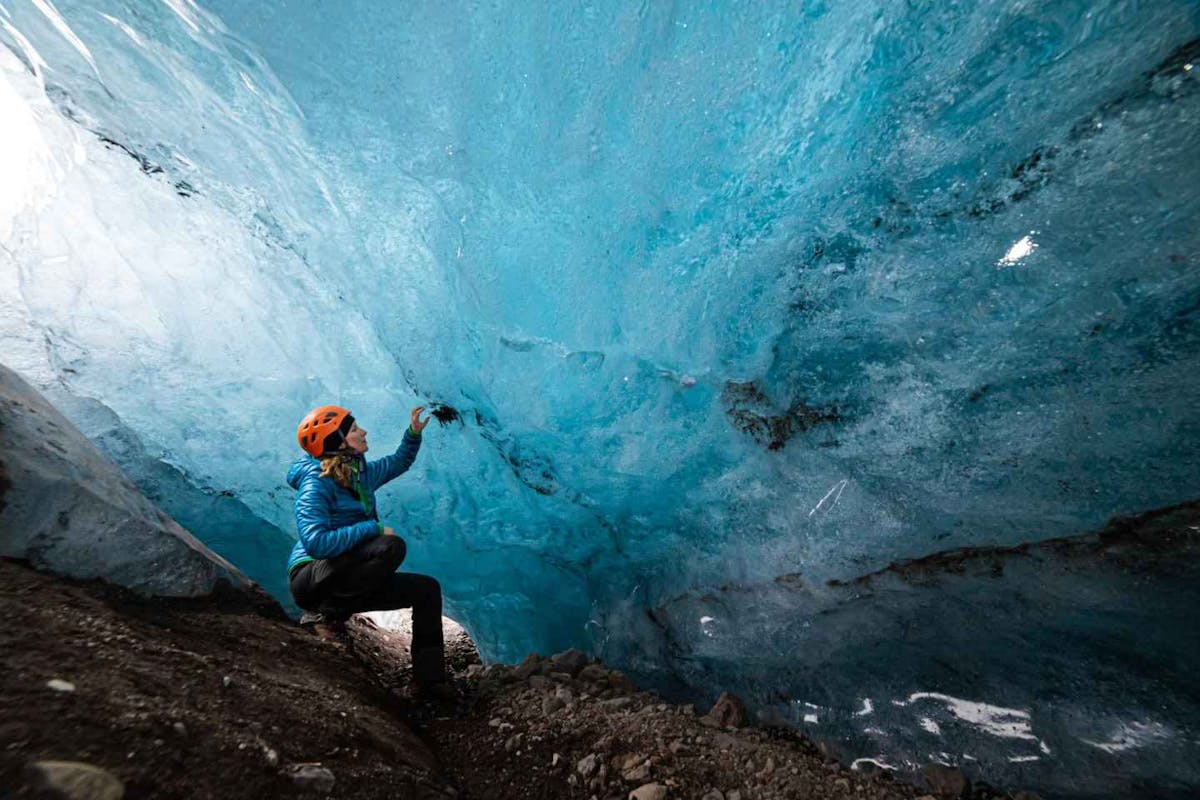
Glaciers and Volcanos in rugged Iceland
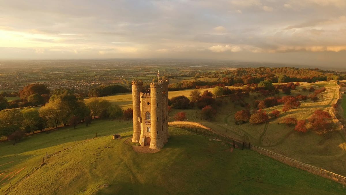
Knights & castles in historic England
Engage with the local people of Ireland

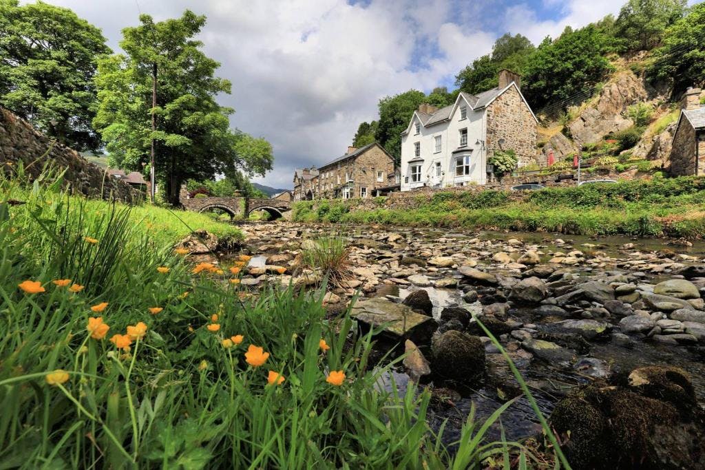
Relaxing in a local bed & breakfast in Wales
Ravlling is a proud partner of almost 100 local tourist offices