Hike - Ramnanuten
Sunnhordland, Norway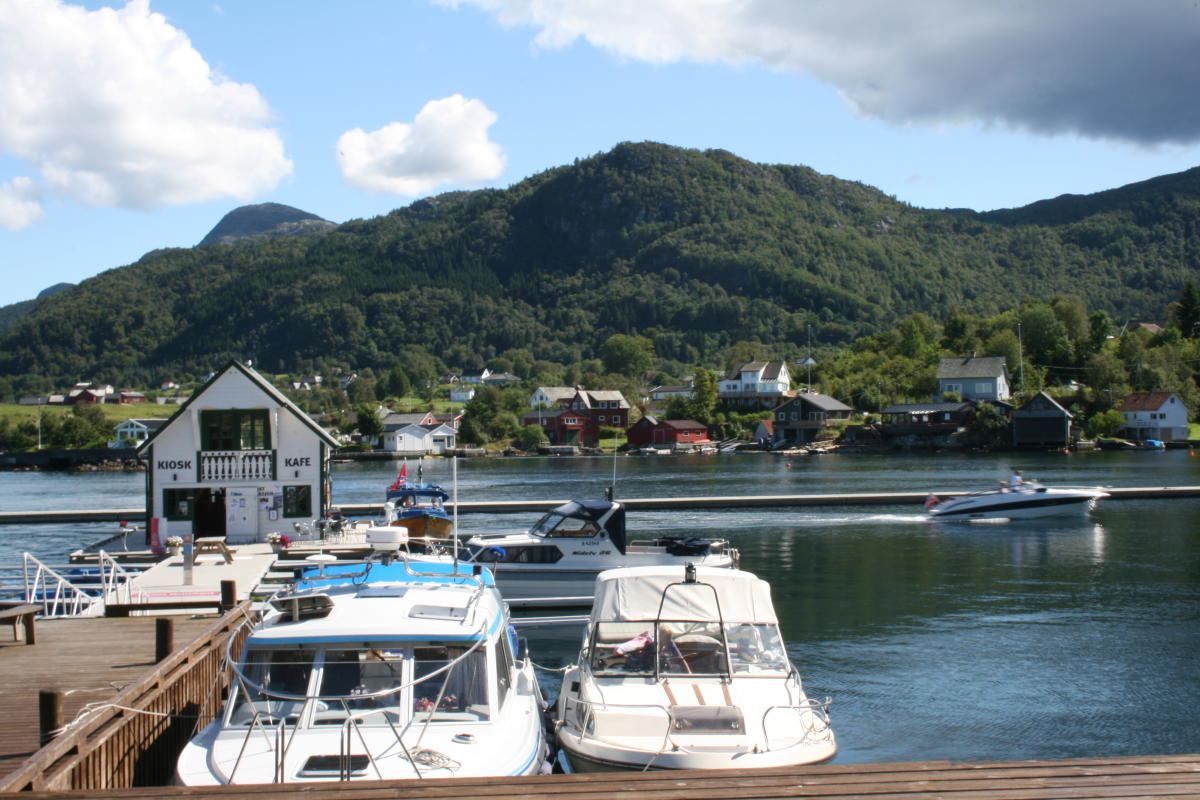
Altitude difference: 30-230 metres
Estimated time: 1 hour,
Distance: 3.5 km there and back
Walking map: Tysnes 1:50 000
Starting point and parking: Tysnes school in Våge.
Description of walk: Circular trail from the car park at Tysnes school. The path follows what is left of the pipe trench to the power plant Våge Lysverk, up Kleivo until you get to the lake and dam. From the summit, there are magnificent views of Tysnesbygda and the Bjørnefjord. Map with information about the trip can be purchased at the Tourist Information Office or at the Council offices in Uggdal.
Destination
Hardangerfjord
Country
Norway
Type of experience
Outdoor
Best time to visit
- Spring
- Autumn
- Summer
Nearby stations
- Voss Airport
- Voss Station
Together, Ravlling and Visit Norway encourage travel in Norway.

Click here to find out more about our partnerships
Ravlling's Conscious experience highlights


Get inspired
Browse around the most wonderful green travel destinations, stays and experiences.
Booking is easy!
Get inspired
Browse around the most wonderful green travel destinations, stays and experiences.
Booking is easy!
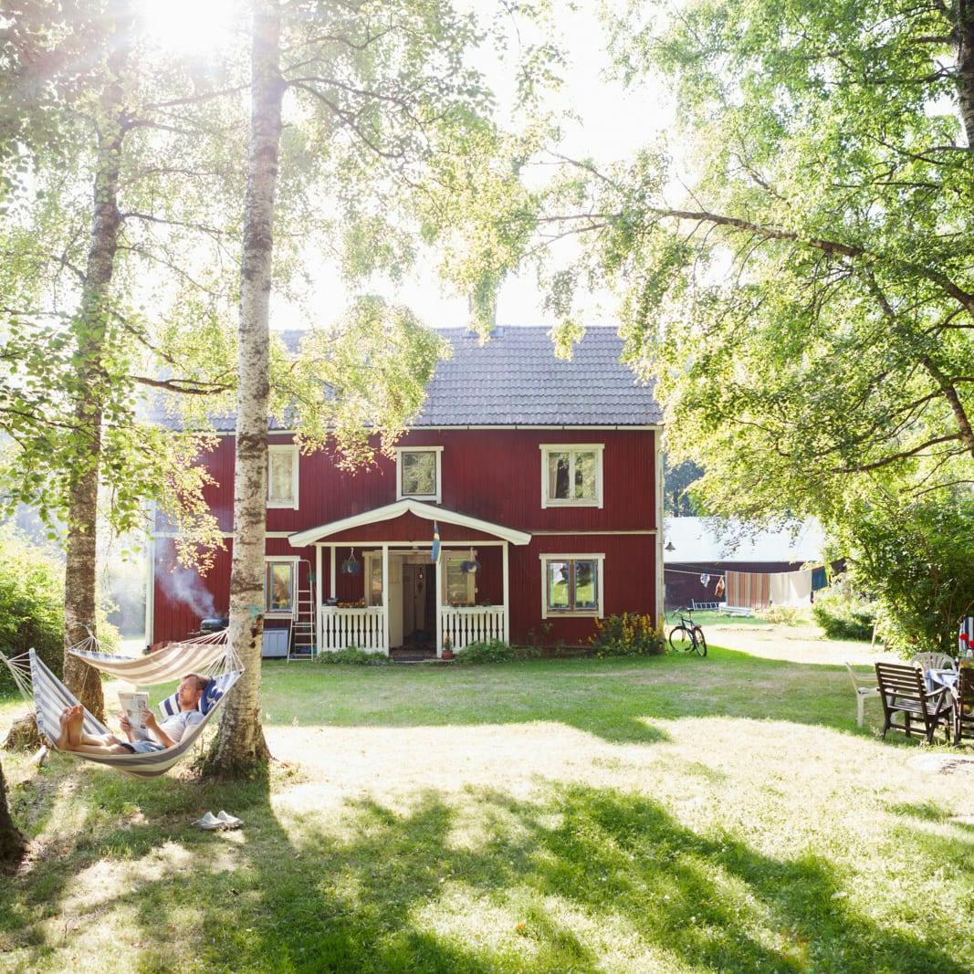
Unique cabins in outdoor Sweden
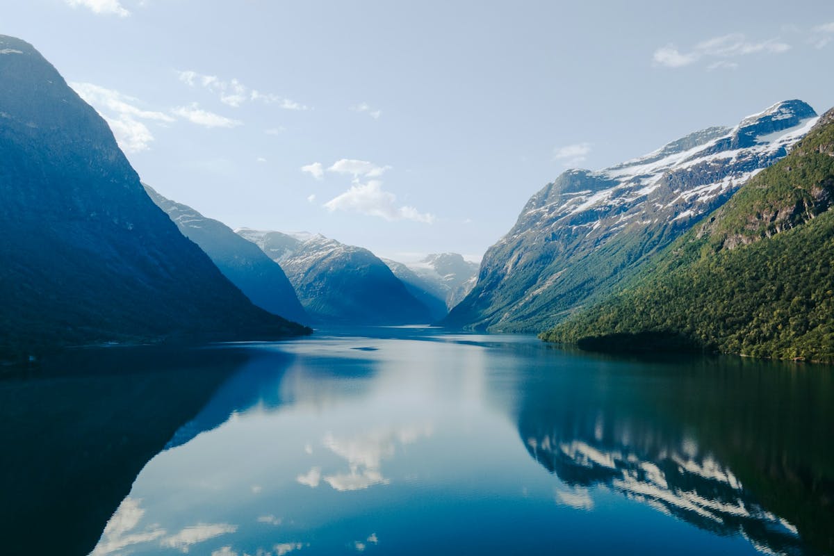
Stunning Fjords of Norway
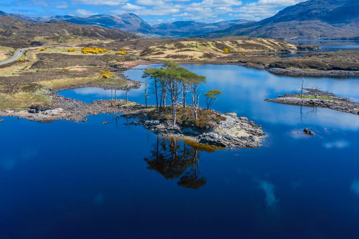
Impressive natural heritage in the Scottish highlands
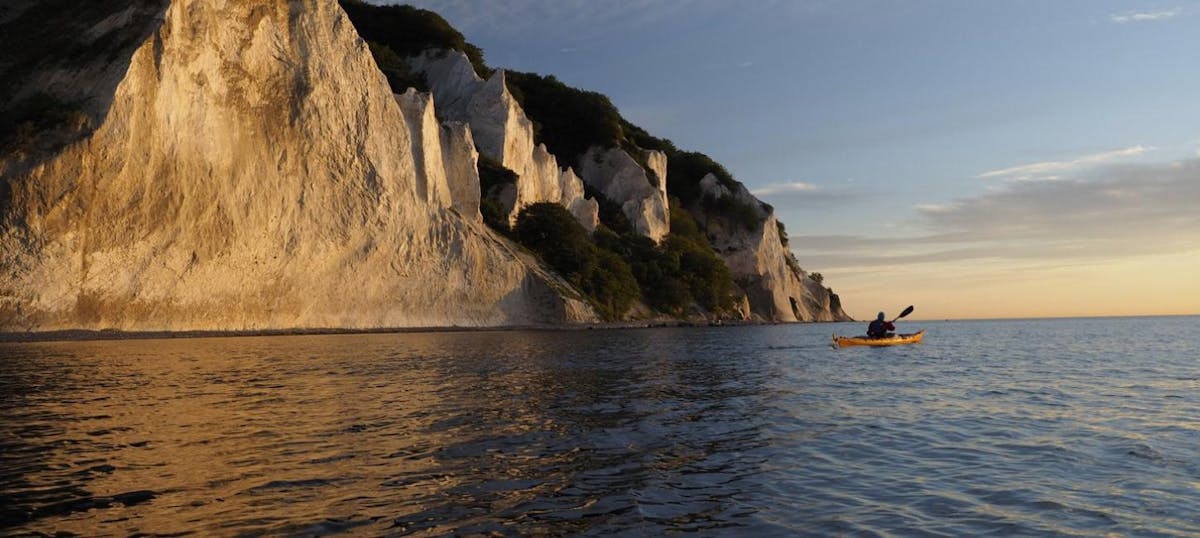
Endless horizons on the coast of Denmark
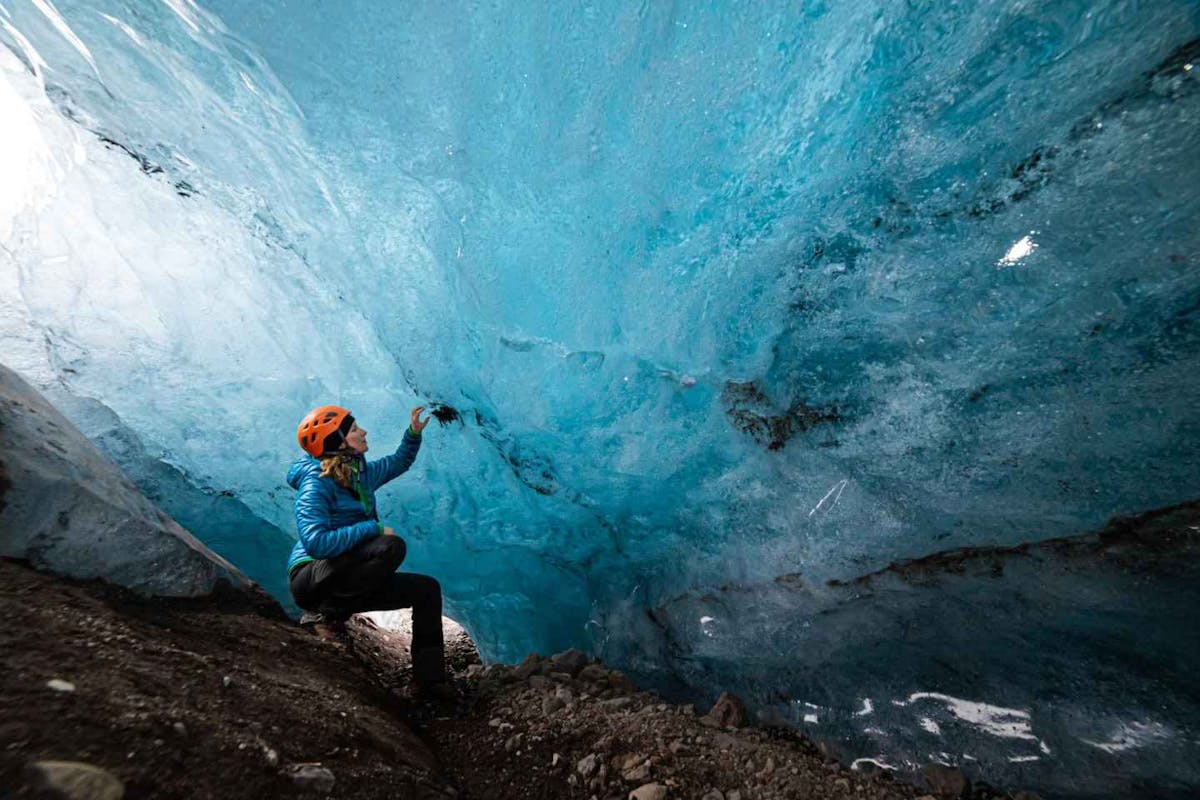
Glaciers and Volcanos in rugged Iceland
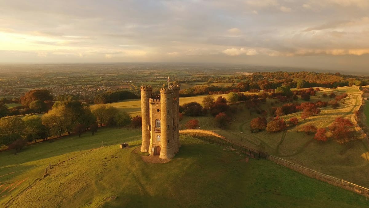
Knights & castles in historic England
Engage with the local people of Ireland

Relaxing in a local bed & breakfast in Wales
Ravlling is a proud partner of almost 100 local tourist offices