Dyna at Veståsen Ål in Hallingdal
Hallingdal, Norway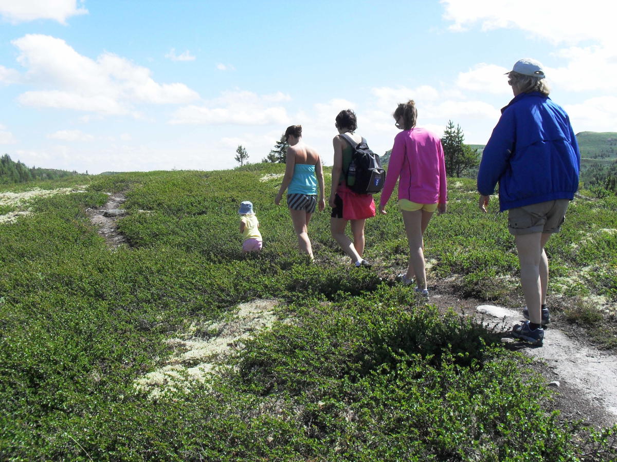
Round trip about 12 km long in easy mountain terrain with the top at Dyna as a highlight.
Fantastic view over Ål from the top !
Start the hike by driving past the station to Vestlivegen from the centre of Ål to Bosset where you find a parking lot.
Toll road (cash only).
From Bosset the hike goes along a good trail between Restjødnan and towards Dyna (1212 masl).
You will pass Bispen on your way to the peak.
Further the hike goes along the trail down to Steinstølen, and from here you follow the mountain road to Fjellheim.
Continue on the trail from Fjellheim back to Bosset.
The hike is in easy terrain on trails, mountain road and is well marked.
As an alternative you can walk this round trip in the other direction, or as a shorter alternative you can only walk from Bosset to Dyna and then back again.
Press the link for detailed map and height profile for this hike.
A more detailed map: Veståsen 1: 50 000
Destination
Ål
Country
Norway
Type of experience
Outdoor
Best time to visit
- Spring
- Autumn
- Summer
Nearby stations
- Torpo Stasjon
- Ål Station
Together, Ravlling and Visit Norway encourage travel in Norway.

Click here to find out more about our partnerships
Unforgettable summer adventures – England and Norway


Get inspired
Browse around the most wonderful green travel destinations, stays and experiences.
Booking is easy!
Get inspired
Browse around the most wonderful green travel destinations, stays and experiences.
Booking is easy!
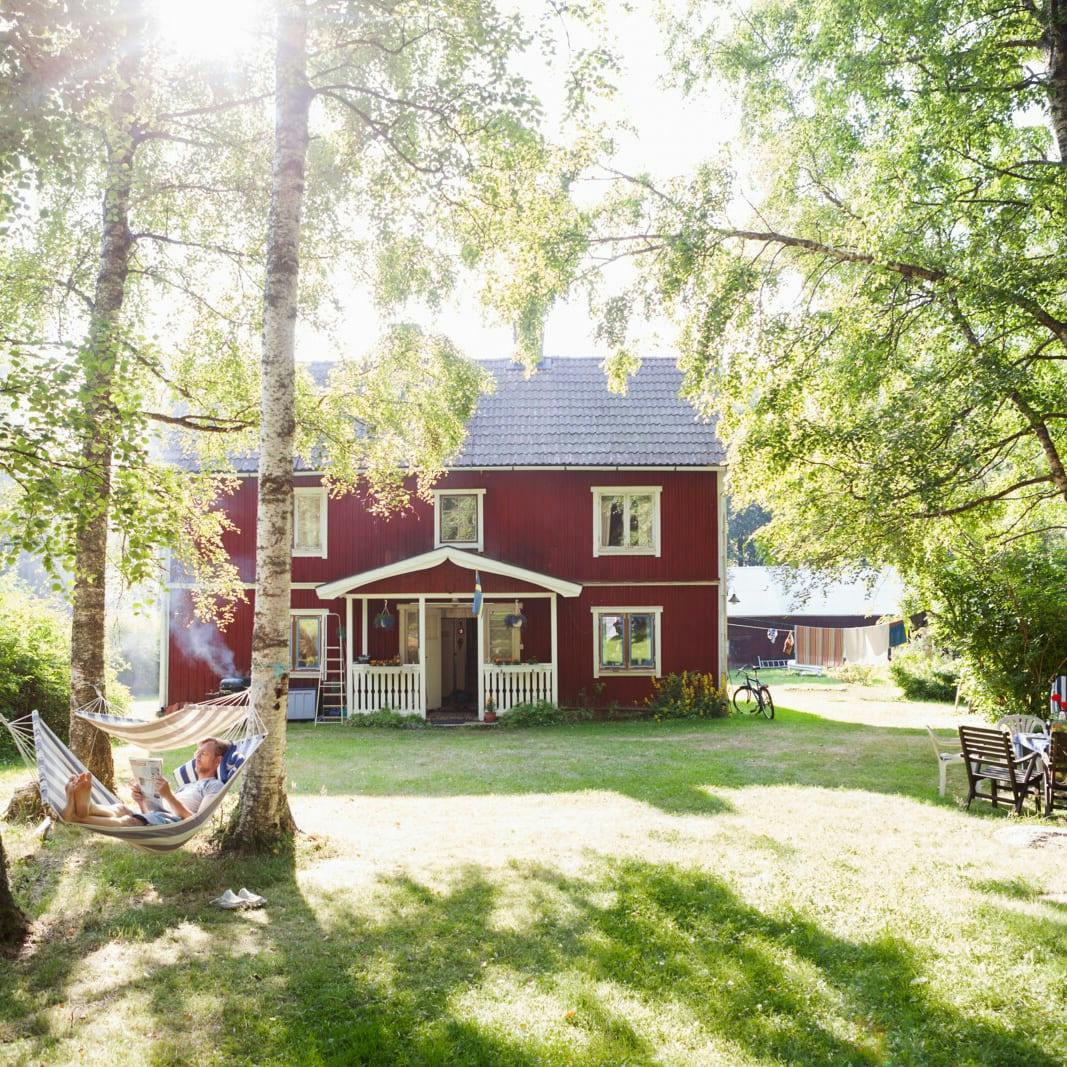
Unique cabins in outdoor Sweden
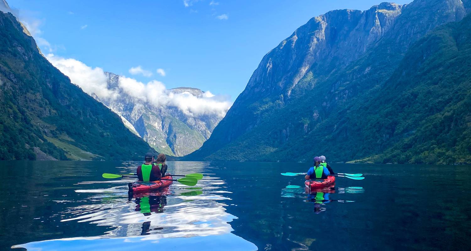
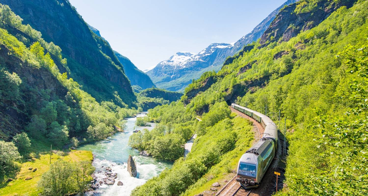
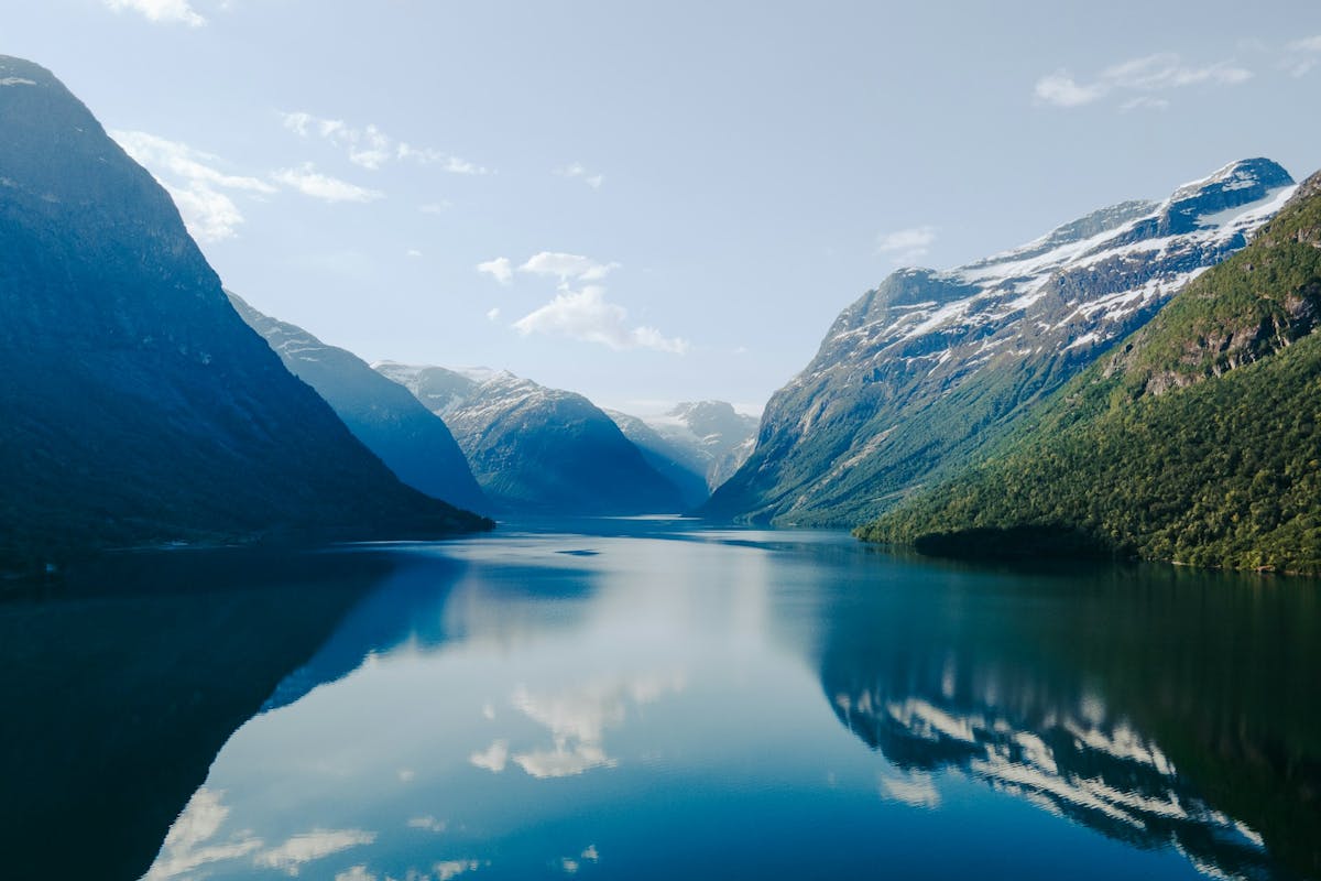
Stunning Fjords of Norway
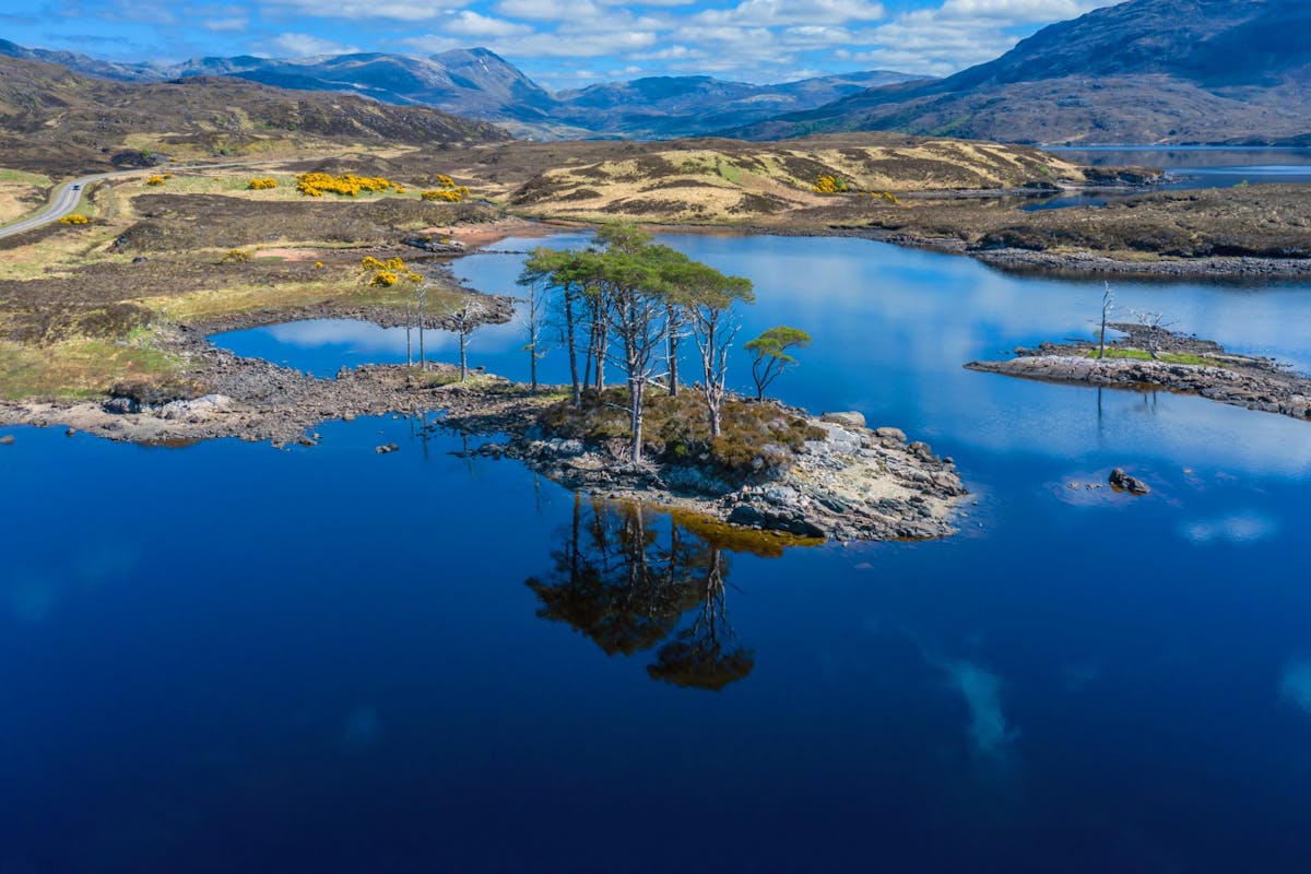
Impressive natural heritage in the Scottish highlands
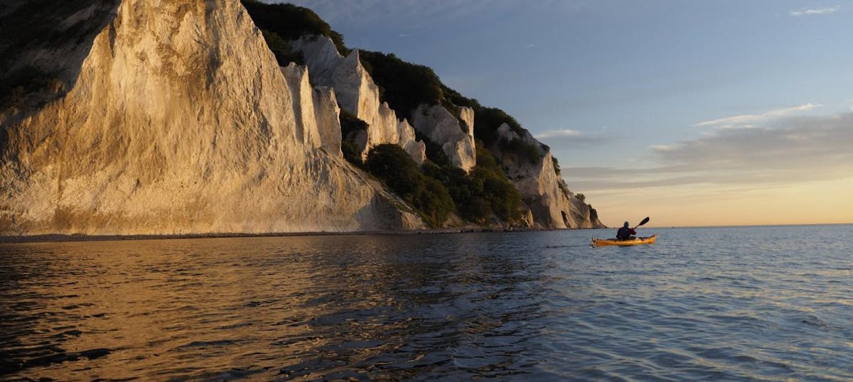
Endless horizons on the coast of Denmark
Glaciers and Volcanos in rugged Iceland

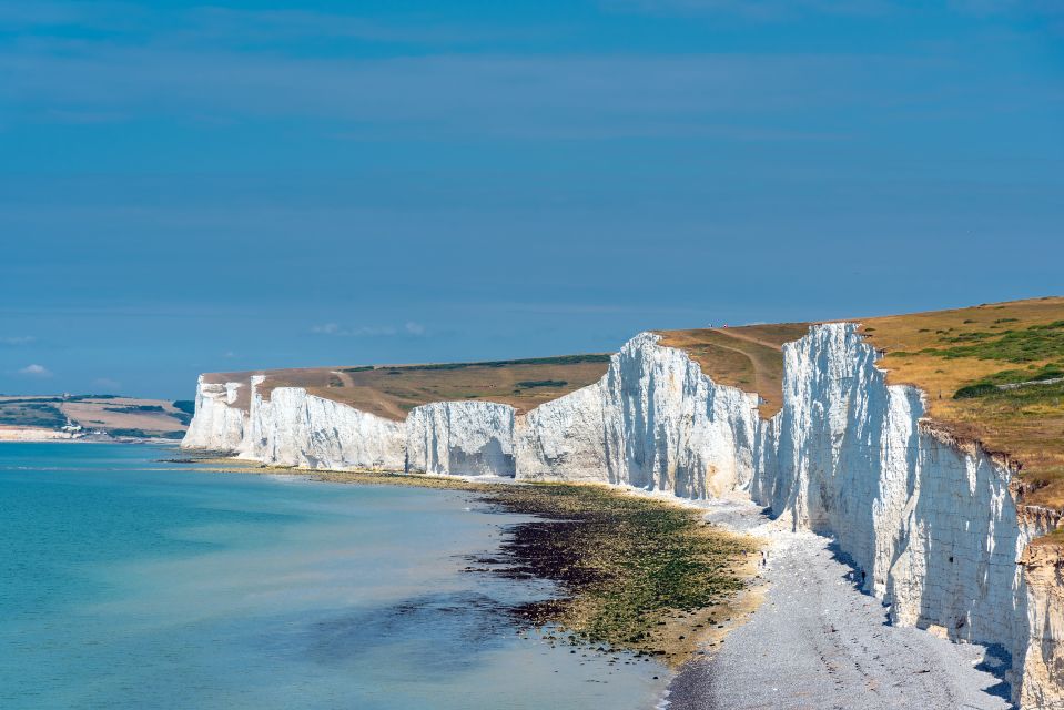
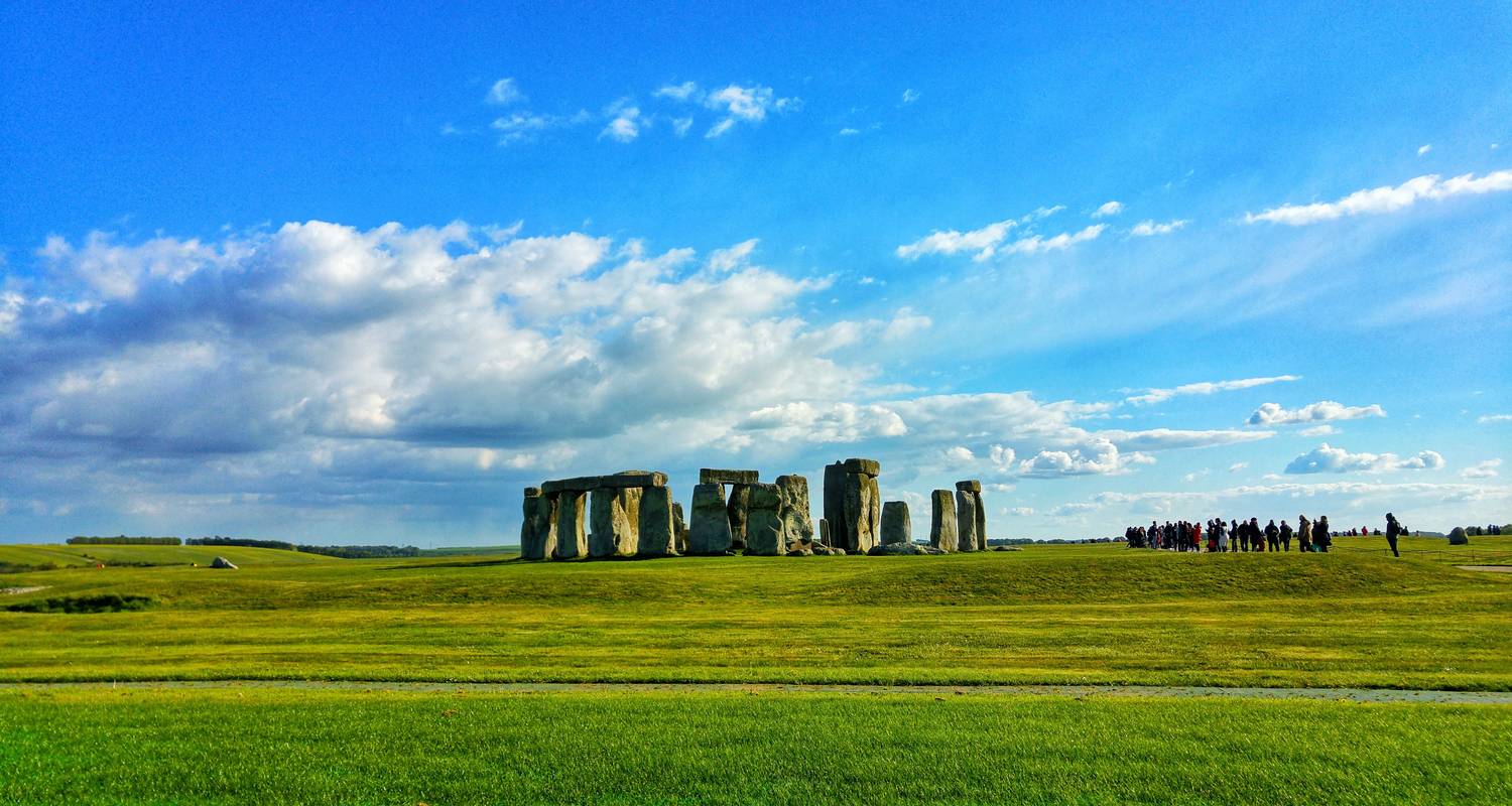
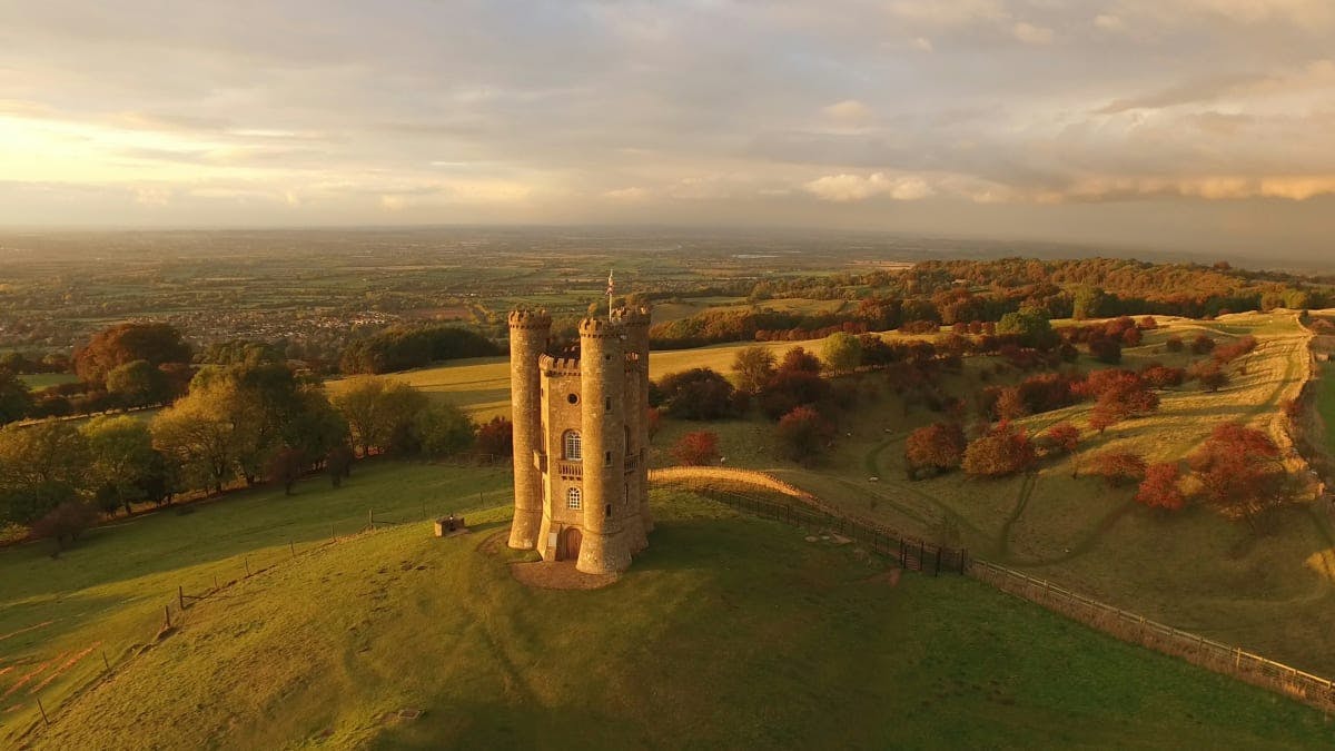
Knights & castles in historic England
Engage with the local people of Ireland

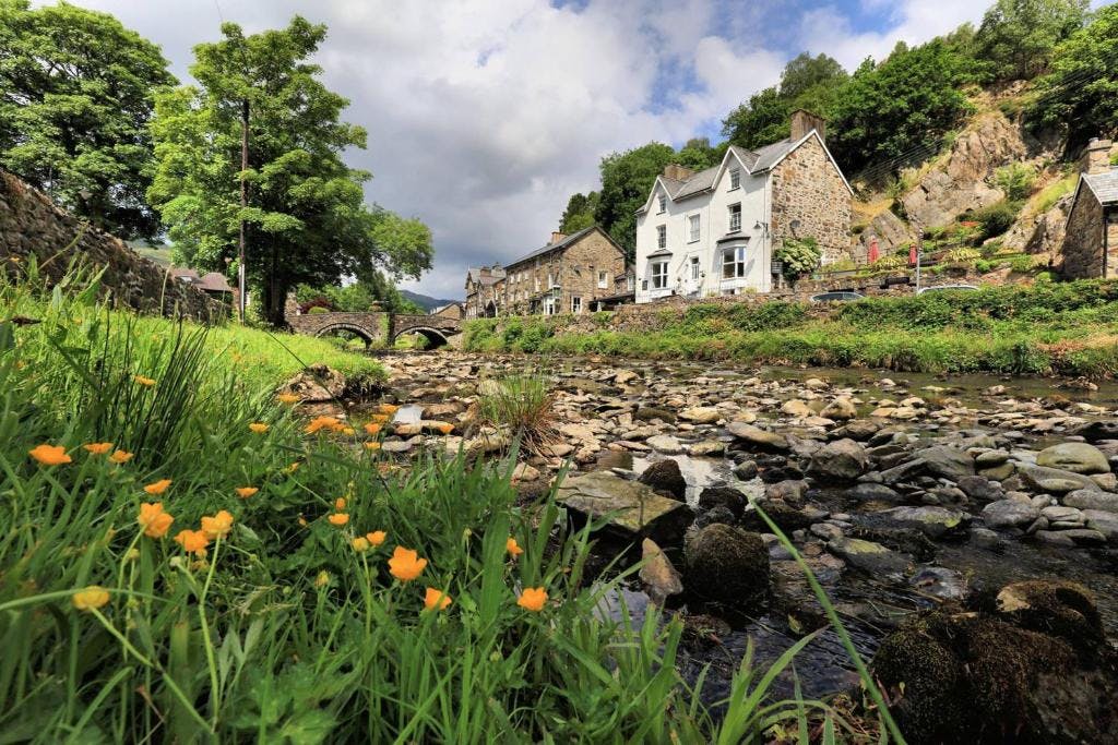
Relaxing in a local bed & breakfast in Wales
Ravlling is a proud partner of almost 100 local tourist offices