Saxdalen Ljungåsleden 14 km
Dalarna, Sweden
The trail runs on smaller gravel paths and forest terrain. Length: 7 km OBS! one way. You need to go back on the same path to get back to the start and parking lot. ( 14 km). Markings: Yellow marking. Factor: A tougher hiking trail with a large height difference.
The trail goes on smaller roads, paths and forest terrain. There is a halting place after 3 km and after a further 1 km there is a fireplace at Ranmossen.
Description: Parking lot is located between road 604 and Lake Saxen. At the Parking lot you will find an informations board with a map over the trails in Saxdalen. There is also parking lot at the start, address: Gamla Gruvvägen 5.
Map A map over the hiking trails is available at the parking lot at the Lake Saxen. You can also print out your own map from the link above.
Destination
Dalarna
Country
Sweden
Type of experience
Outdoor
Best time to visit
- Spring
- Autumn
- Summer
Nearby stations
- Sälen/Scandinavian Mountains Airport
- Dala Airport
Together, Ravlling and Visit Dalarna encourage travel in Sweden.

Click here to find out more about our partnerships
Ravlling's Conscious experience highlights


Get inspired
Browse around the most wonderful green travel destinations, stays and experiences.
Booking is easy!
Get inspired
Browse around the most wonderful green travel destinations, stays and experiences.
Booking is easy!
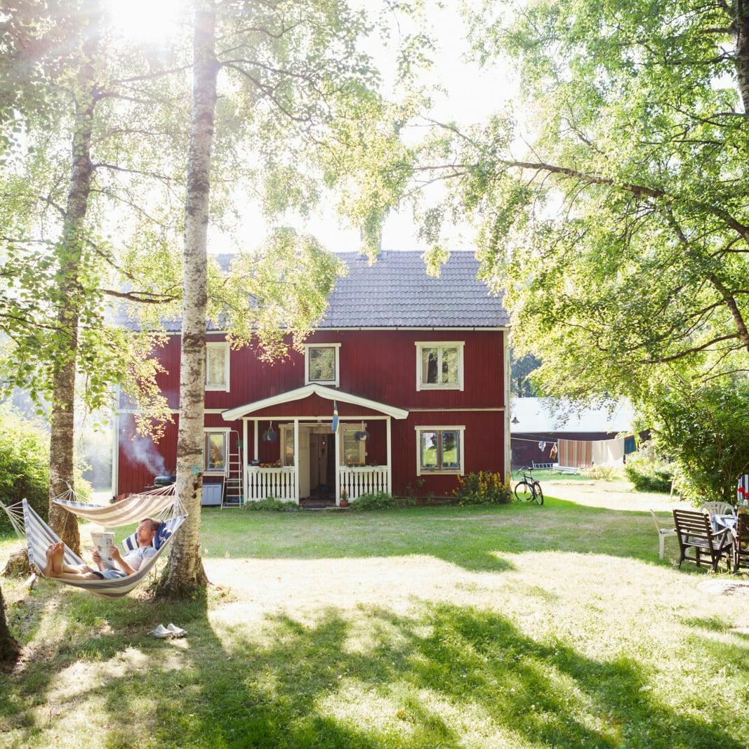
Unique cabins in outdoor Sweden
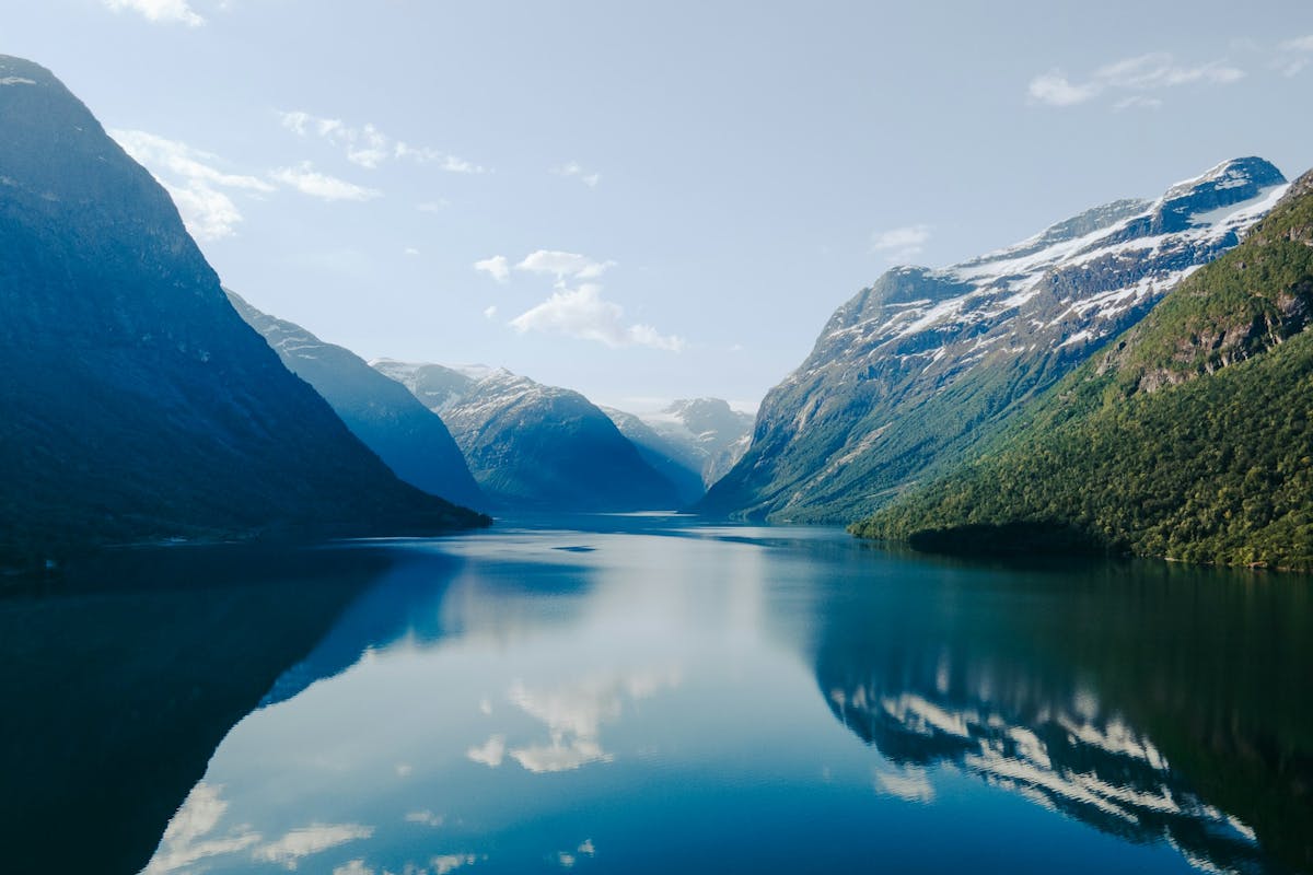
Stunning Fjords of Norway
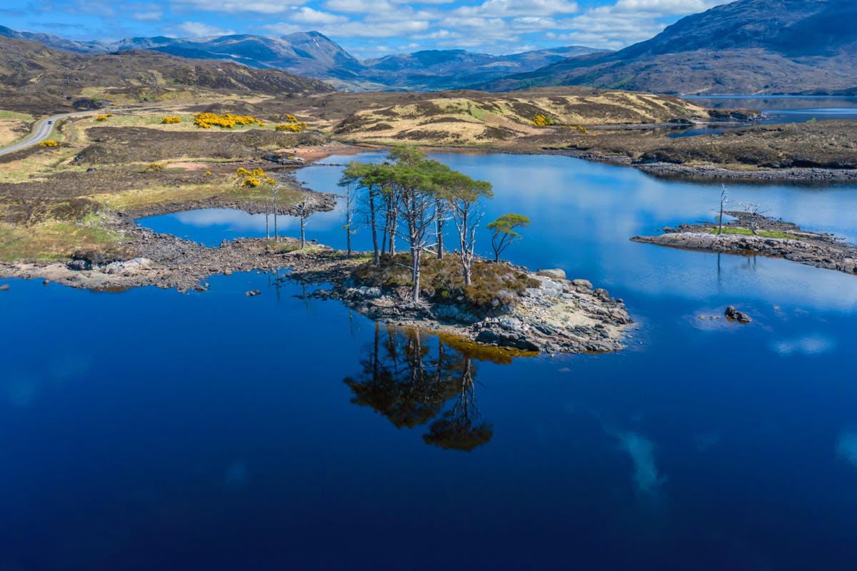
Impressive natural heritage in the Scottish highlands
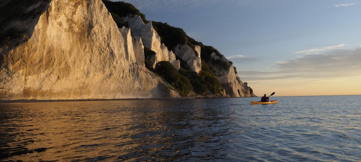
Endless horizons on the coast of Denmark
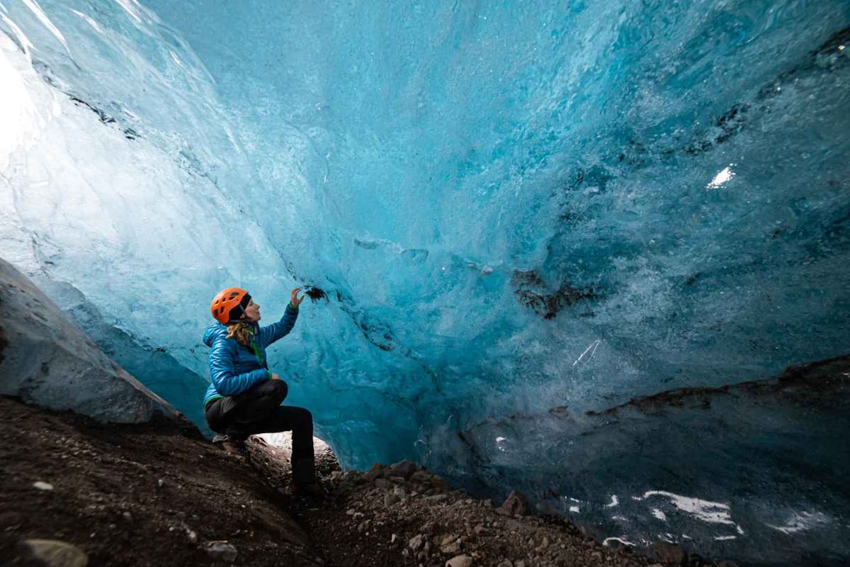
Glaciers and Volcanos in rugged Iceland
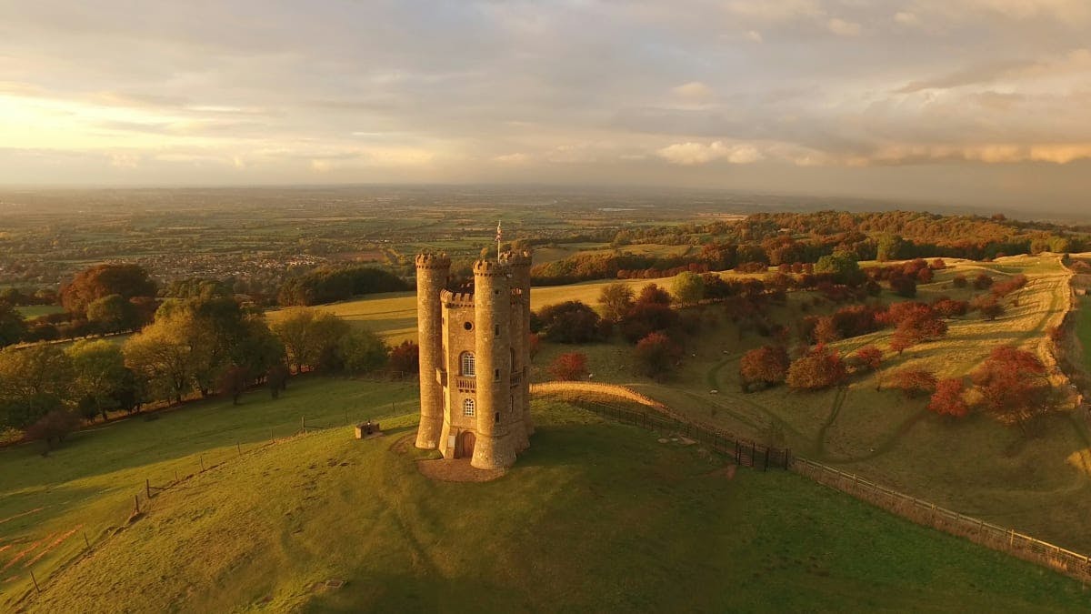
Knights & castles in historic England
Engage with the local people of Ireland

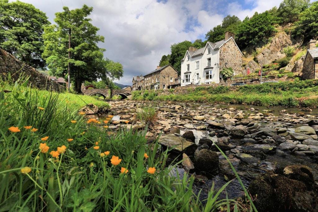
Relaxing in a local bed & breakfast in Wales
Ravlling is a proud partner of almost 100 local tourist offices