Nipfjället's Peak 7 km
Dalarna, Sweden
A moderate half day hike of about 7 km, starting from the upper Nipfjällsparking lot.
Length: 7 km
Trail marking: There are signs.
Difficulty: Moderate half-day trip.
Ascent of the highest peak in Städjan-Nipfjällsmassivet, 1191 m asl.
Magnificent views, but the terrain is rather difficult, especially hard oriented and at times rocky.
From the car park, follow an unmarked trail on Lillnipens eastern slope.
Then walk diagonally across Hästvrån. You come up on an area of boulders.
It keeps you northeasterly direction until you can see a phonemast.
Just west of this is a cairn marking the top.
From the top you can choose to go back the same way, or follow the trail due south to the cliff, from hereafter you can follow a check marked trail which you follow to the right, to the parking lot.
Destination
Dalarna
Country
Sweden
Type of experience
Outdoor
Best time to visit
- Spring
- Autumn
- Summer
Nearby stations
- Sälen/Scandinavian Mountains Airport
- Dala Airport
Together, Ravlling and Visit Dalarna encourage travel in Sweden.

Click here to find out more about our partnerships
Ravlling's Conscious experience highlights


Get inspired
Browse around the most wonderful green travel destinations, stays and experiences.
Booking is easy!
Get inspired
Browse around the most wonderful green travel destinations, stays and experiences.
Booking is easy!
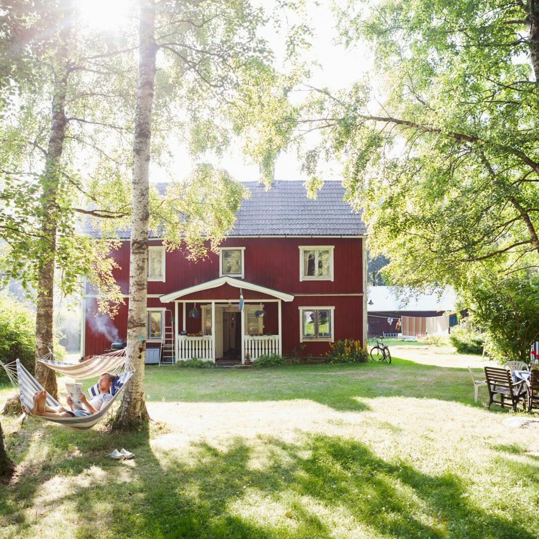
Unique cabins in outdoor Sweden
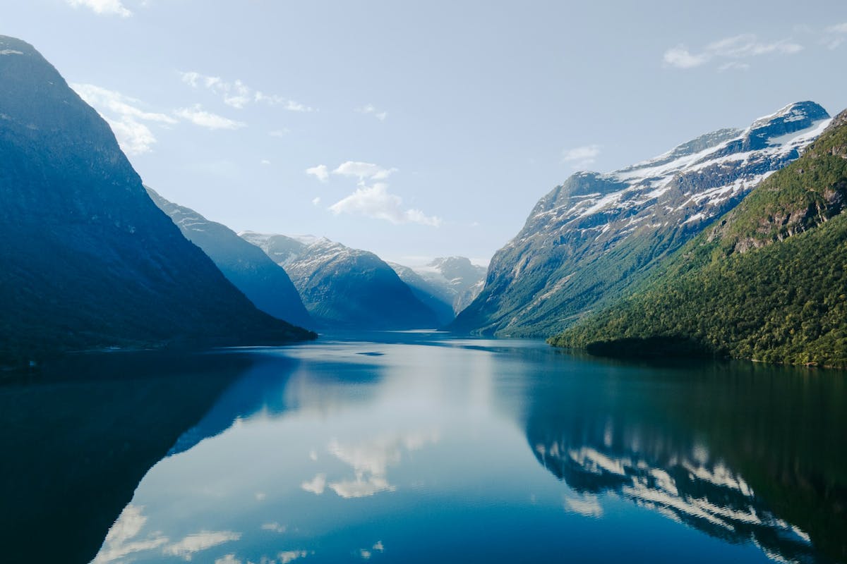
Stunning Fjords of Norway
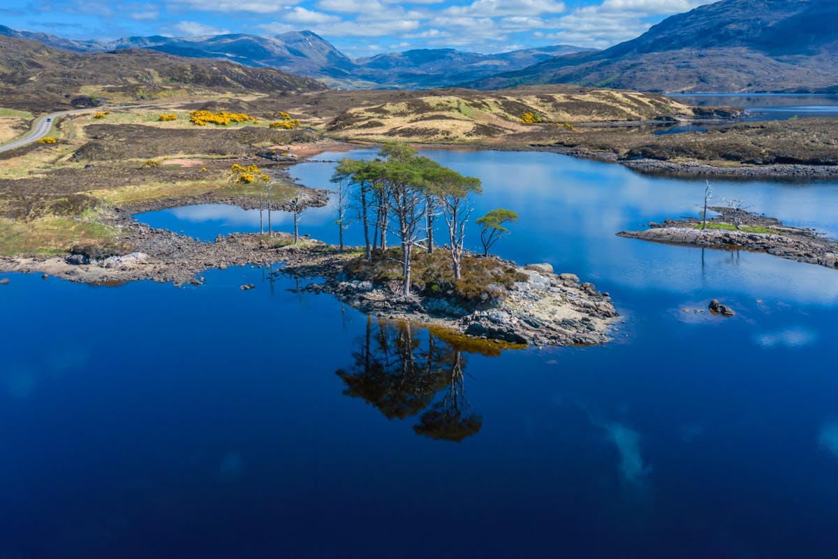
Impressive natural heritage in the Scottish highlands
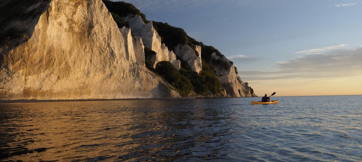
Endless horizons on the coast of Denmark
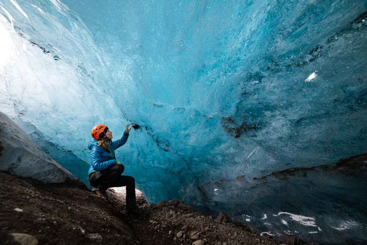
Glaciers and Volcanos in rugged Iceland
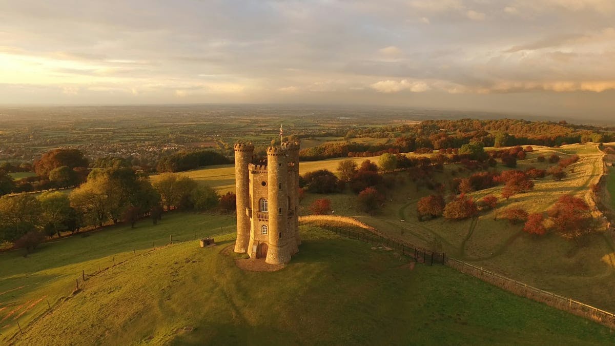
Knights & castles in historic England
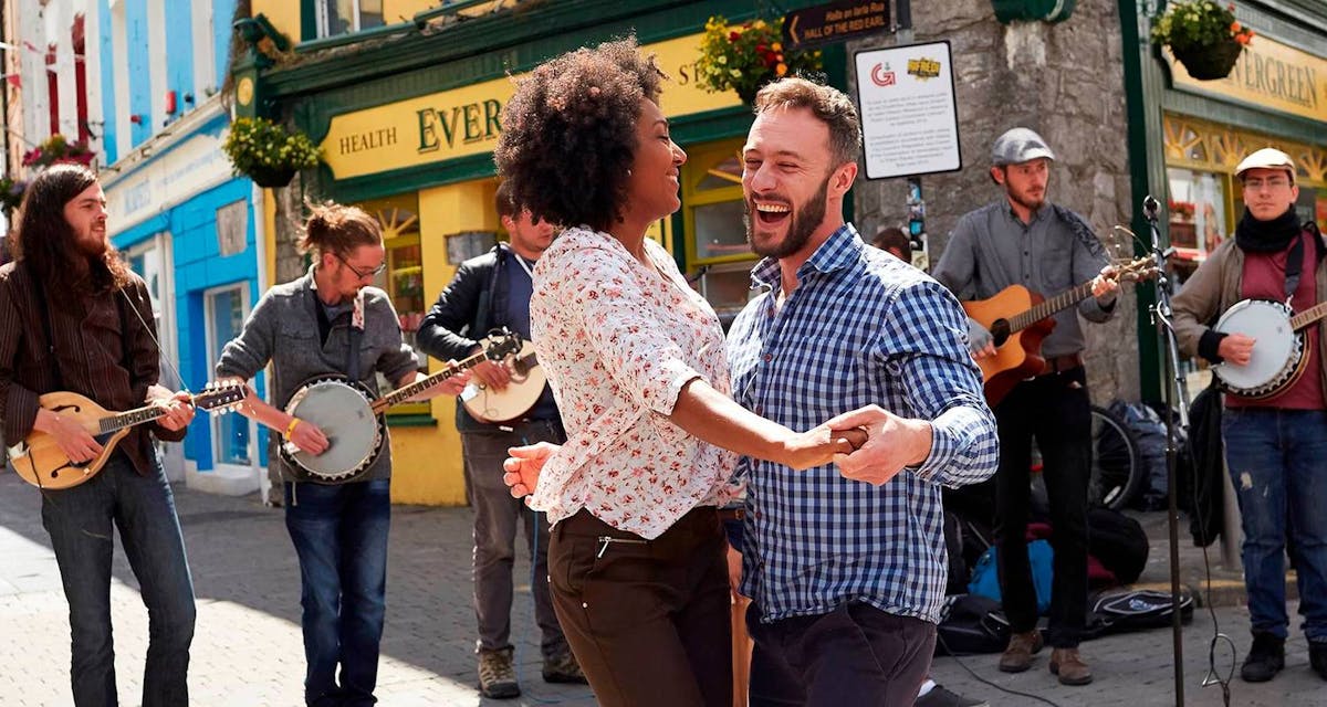
Engage with the local people of Ireland
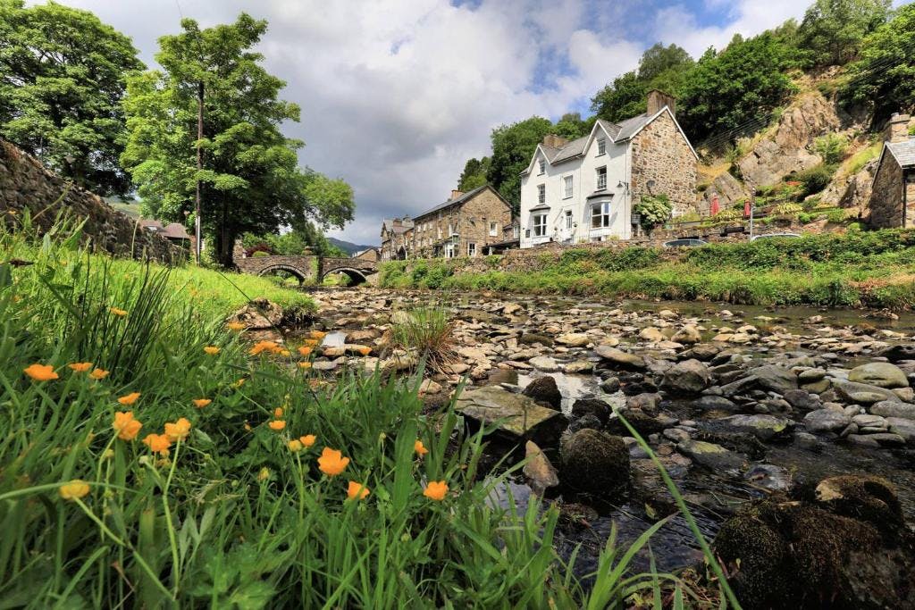
Relaxing in a local bed & breakfast in Wales
Ravlling is a proud partner of almost 100 local tourist offices