Nomelandsfjellet return trip 12 km
Setesdal, Norway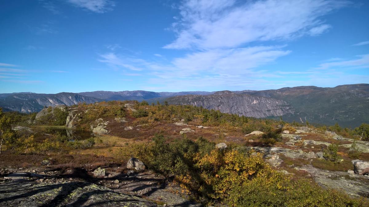
With its polished surface, Mt. Nomelandsfjellet is a landmark in Valle and an attractive goal for climbers. The hiking trail starts on the western side of the river Otra, by Steinsland. For about one and a half kilometre, the ascent is very steep and demanding, before it levels out to the highest point of the hike, which is the telecommunications mast at 916 m. The trail follows the ridge of the Mt. Nomelandsfjellet, providing great views of the valley. You pass the tarn Fingredalstjørni, a nice swimming spot, before the last steep section down to Honnevje. From there, follow the road back to the starting point at Steinsland. WGS84 59. 202163, 7. 521429START RV9, 3 km north of central Valle DURATION 6-7 hours LENGTH / LÄNGE ca. 9, 5 km round trip Download map
Destination
Setesdal
Country
Norway
Type of experience
Outdoor
Best time to visit
- Spring
- Autumn
- Summer
Nearby stations
- Vatnestrøm Station
Together, Ravlling and Visit Norway encourage travel in Norway.

Click here to find out more about our partnerships
Ravlling's Conscious experience highlights


Get inspired
Browse around the most wonderful green travel destinations, stays and experiences.
Booking is easy!
Get inspired
Browse around the most wonderful green travel destinations, stays and experiences.
Booking is easy!
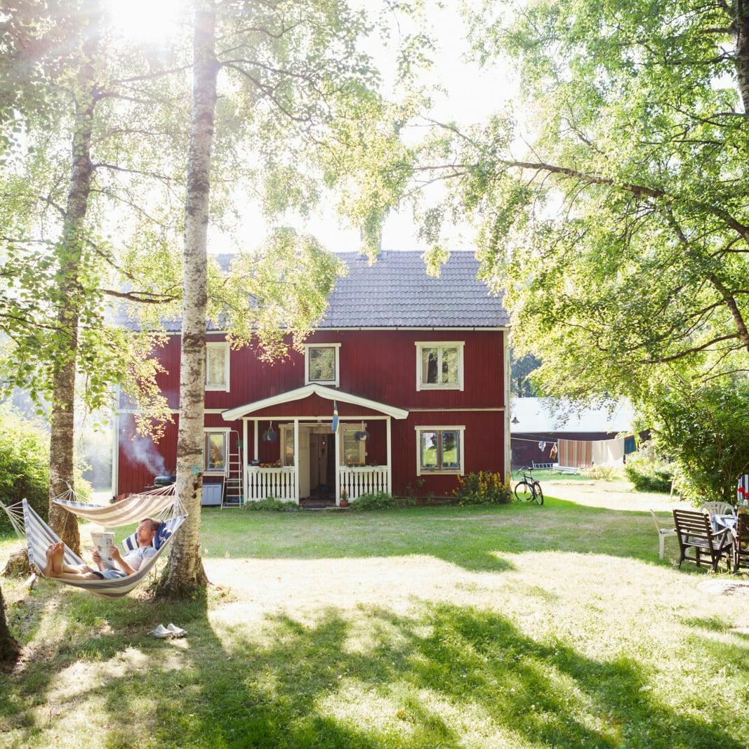
Unique cabins in outdoor Sweden
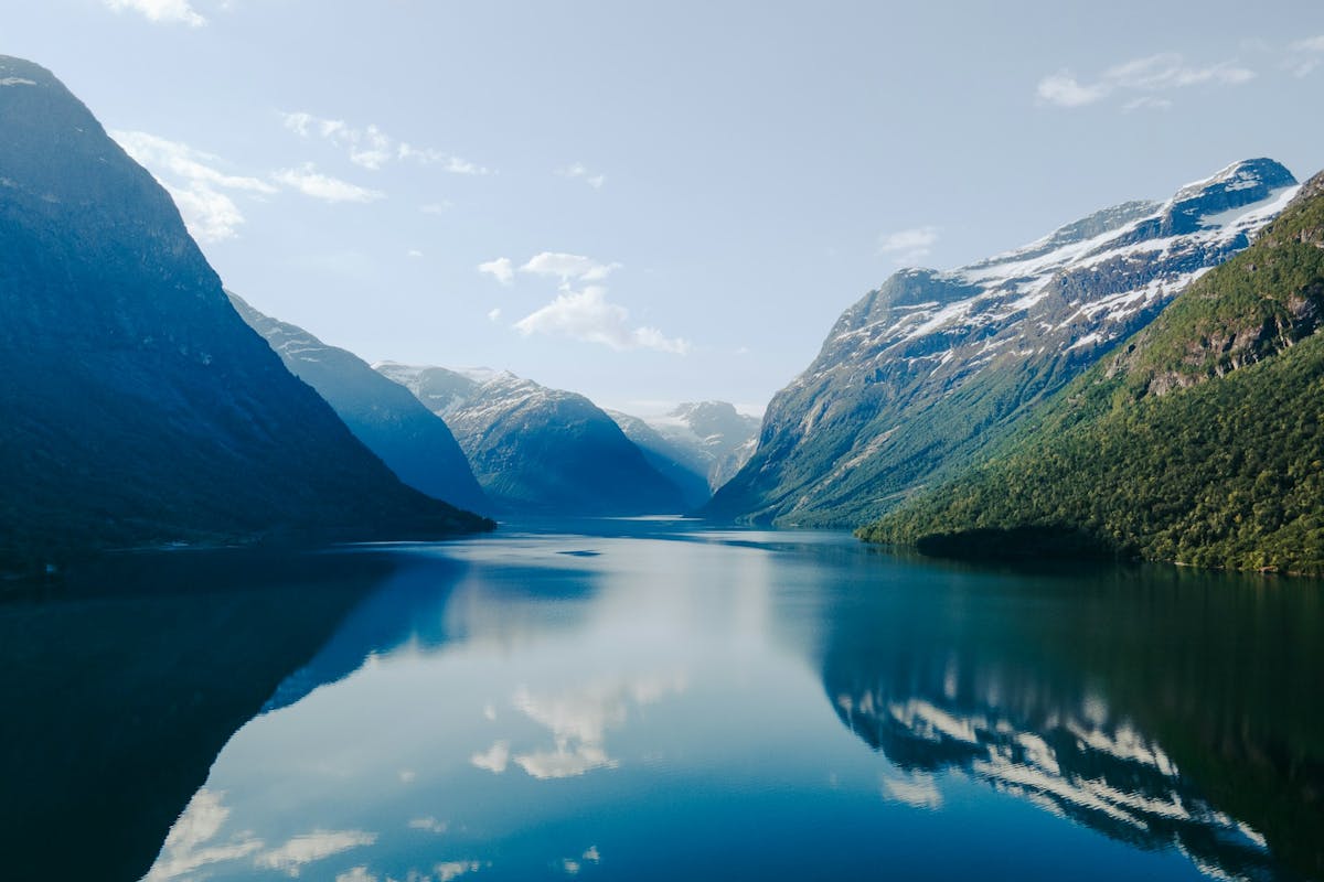
Stunning Fjords of Norway
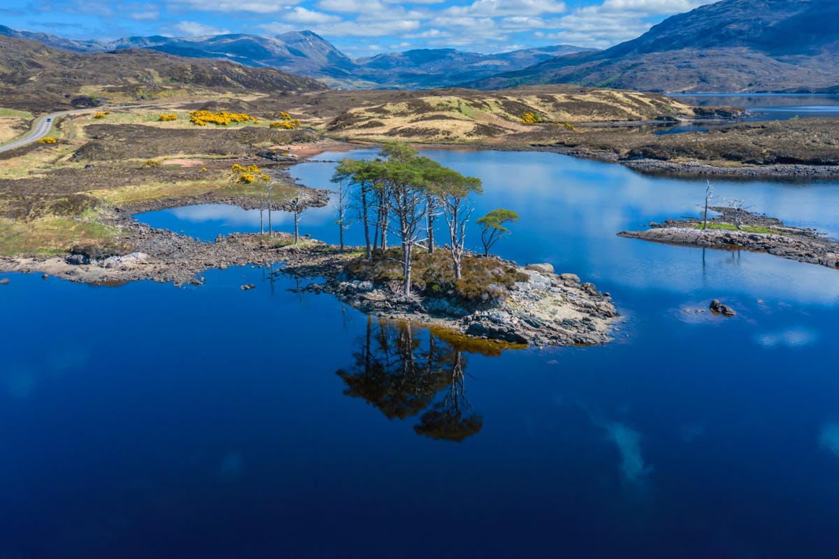
Impressive natural heritage in the Scottish highlands
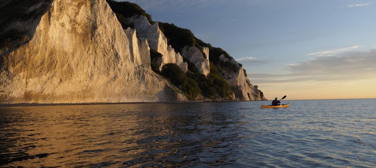
Endless horizons on the coast of Denmark
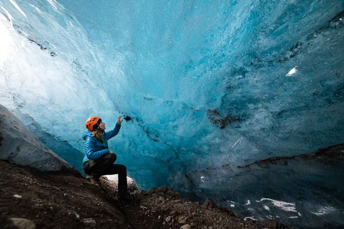
Glaciers and Volcanos in rugged Iceland
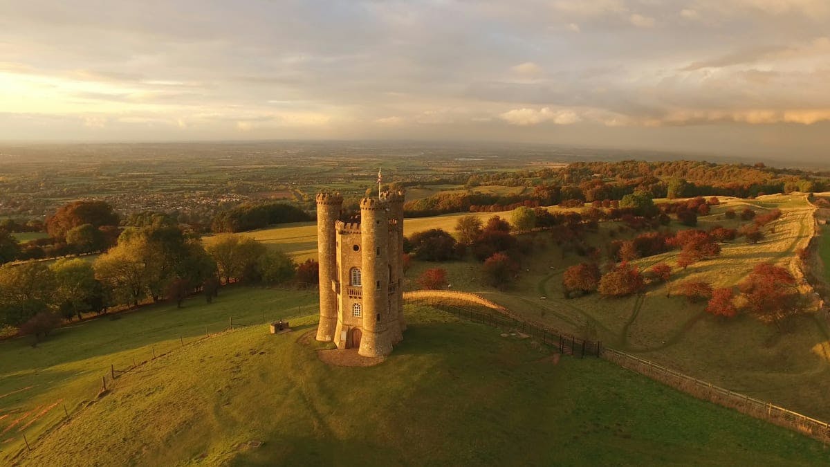
Knights & castles in historic England
Engage with the local people of Ireland

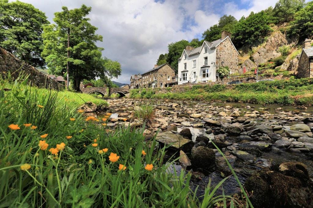
Relaxing in a local bed & breakfast in Wales
Ravlling is a proud partner of almost 100 local tourist offices