The Struve Geodetic Arc
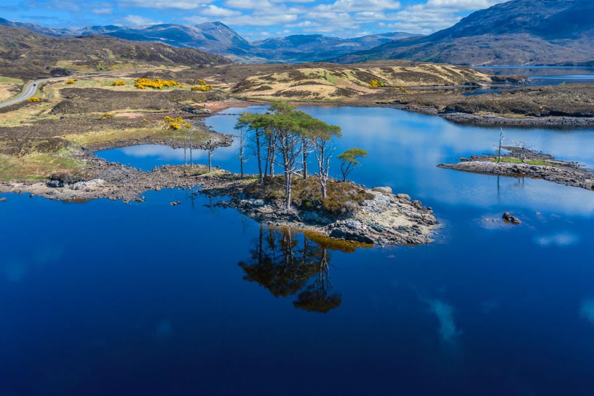
The Finnmark Plateau, Norway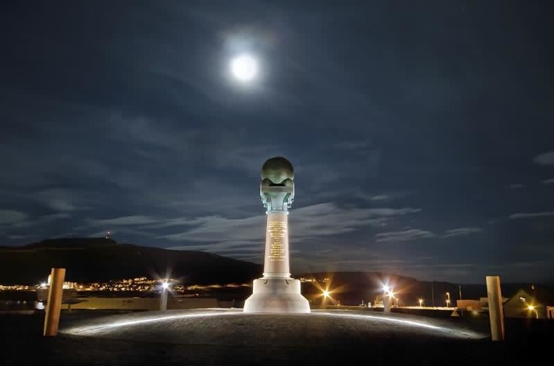
The Struve Geodetic Arc was the first technical and scientific object to be inscribed on the UNESCO World Heritage List.
Measurements were made in the form of a chain of triangulation along the meridian stretching from Ismail on the Black Sea in the South to Fuglenes in Hammerfest in the North.
A meridian is an imaginary line on the Earth's surface running from pole to pole.
The Meridian Column marks the northernmost measure point on Fuglenes in Hammerfest.
Destination
The Finnmark Plateau
Country
Norway
Type of experience
Culture
Best time to visit
- Winter
- Spring
- Autumn
- Summer
Nearby stations
- Kirkenes Airport, Høybuktmoen
- Lakselv Airport, Banak
- Båtsfjord Airport
Together, Ravlling and Visit Norway encourage travel in Norway.

Click here to find out more about our partnerships
Ravlling's Conscious experience highlights


Get inspired
Browse around the most wonderful green travel destinations, stays and experiences.
Booking is easy!
Get inspired
Browse around the most wonderful green travel destinations, stays and experiences.
Booking is easy!
Unique cabins in outdoor Sweden

Stunning Fjords of Norway

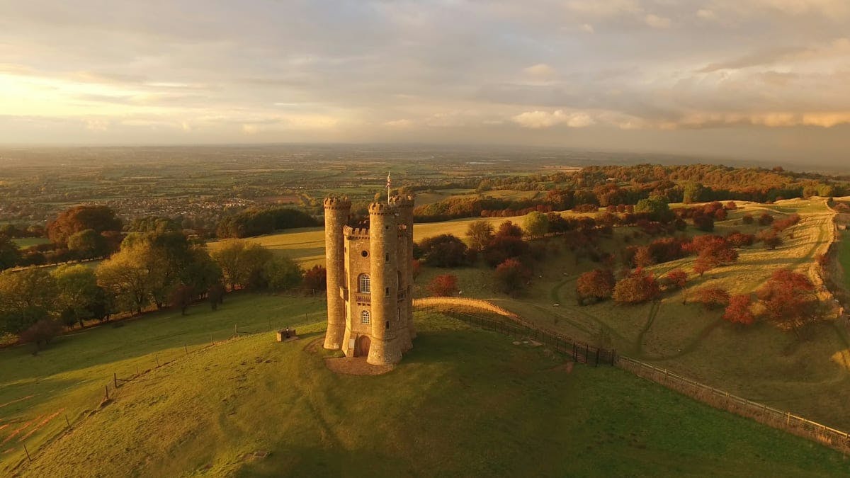
Impressive natural heritage in the Scottish highlands
Endless horizons on the coast of Denmark

Glaciers and Volcanos in rugged Iceland

Knights & castles in historic England
Engage with the local people of Ireland

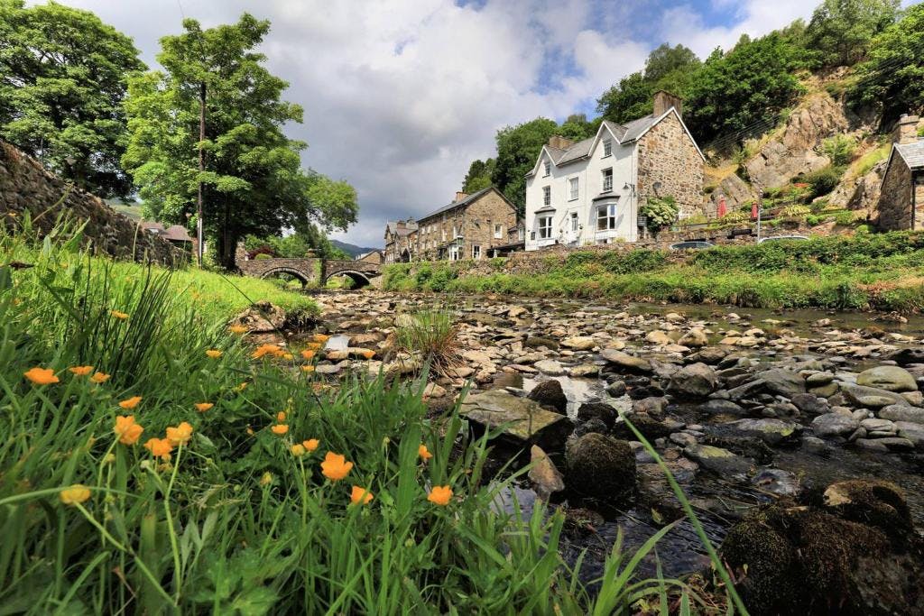
Relaxing in a local bed & breakfast in Wales
Ravlling is a proud partner of almost 100 local tourist offices