Hike to Stussvikhovda
Fjords, Norway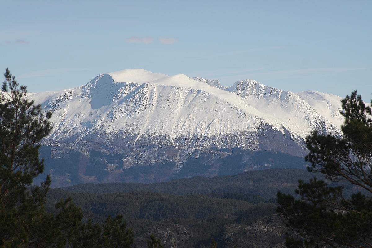
Location ØlveMap Topographic map, Norway 1: 50000 sheet 1215 III
Start and stopping point Stussvik
Parking Drive 200 meters from Gjermundshamn ferry dock to the intersection. Drive approx. 20 km towards Ølve/Tysnes until you see the sign to Stussvik. Turn left and drive 100 meters for parking at the old turnaround in Stussvik.
Marking Information Board by the starting point. T markings and signs.
Grading GreenEasy hike, one boot according to the DNT system. Difference in altitude 40 - 323m AMSL
Estimated Time 2 hours round trip
Recommended advice Take time to enjoy the view.
Overview A tractor road towards the cabin at Synnevågstølen. The path goes further and turns upwards in a slight incline towards Stussvikhovda. The path is easy to follow. The view from the top is spectacular. You can see the Tysnes mountains, the Onarheim fjord and the breathtaking Kvinnherad mountains.
Destination
Hardangerfjord
Country
Norway
Type of experience
Outdoor
Best time to visit
- Spring
- Autumn
- Summer
Nearby stations
- Voss Airport
- Voss Station
Together, Ravlling and Visit Norway encourage travel in Norway.

Click here to find out more about our partnerships
Ravlling's Conscious experience highlights


Get inspired
Browse around the most wonderful green travel destinations, stays and experiences.
Booking is easy!
Get inspired
Browse around the most wonderful green travel destinations, stays and experiences.
Booking is easy!
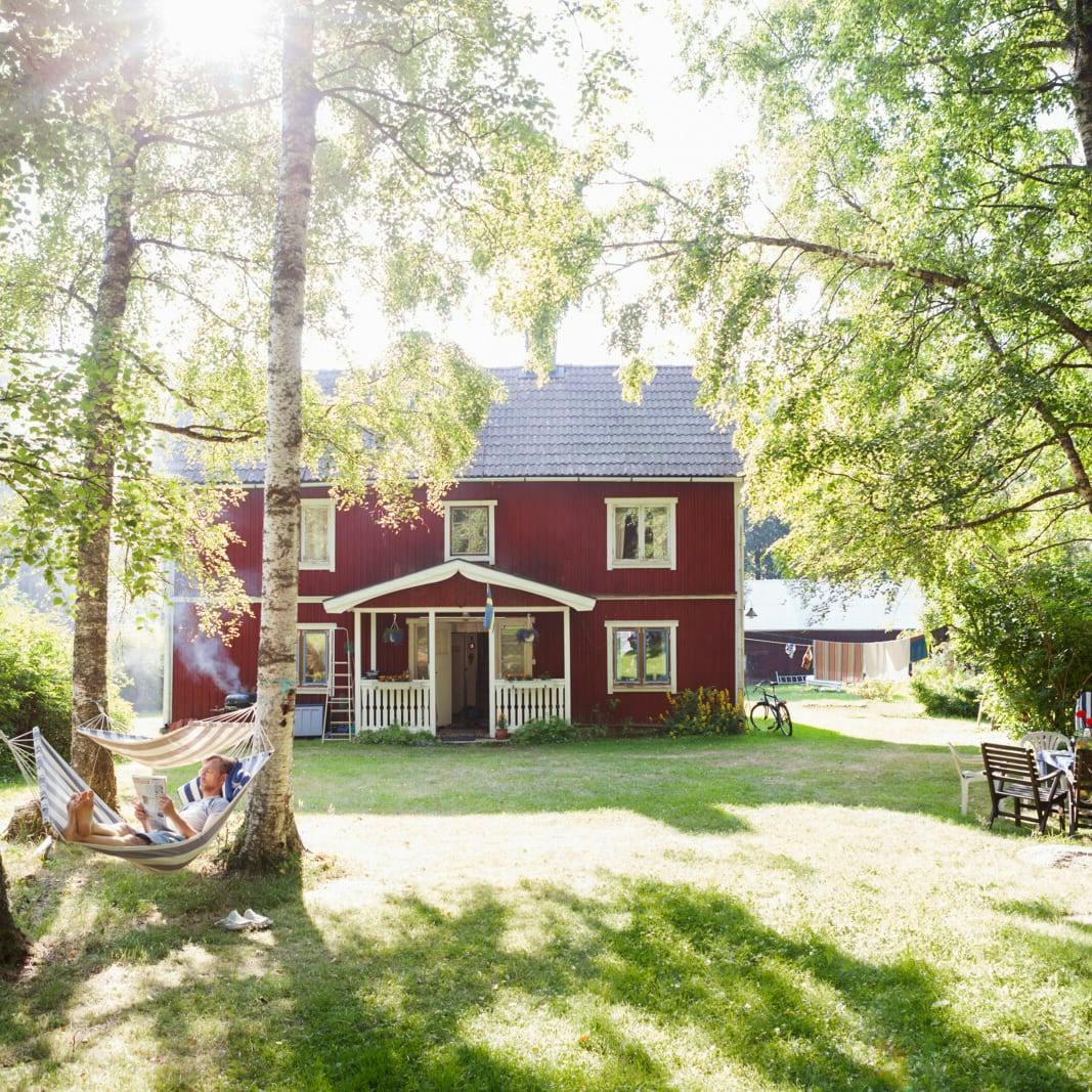
Unique cabins in outdoor Sweden
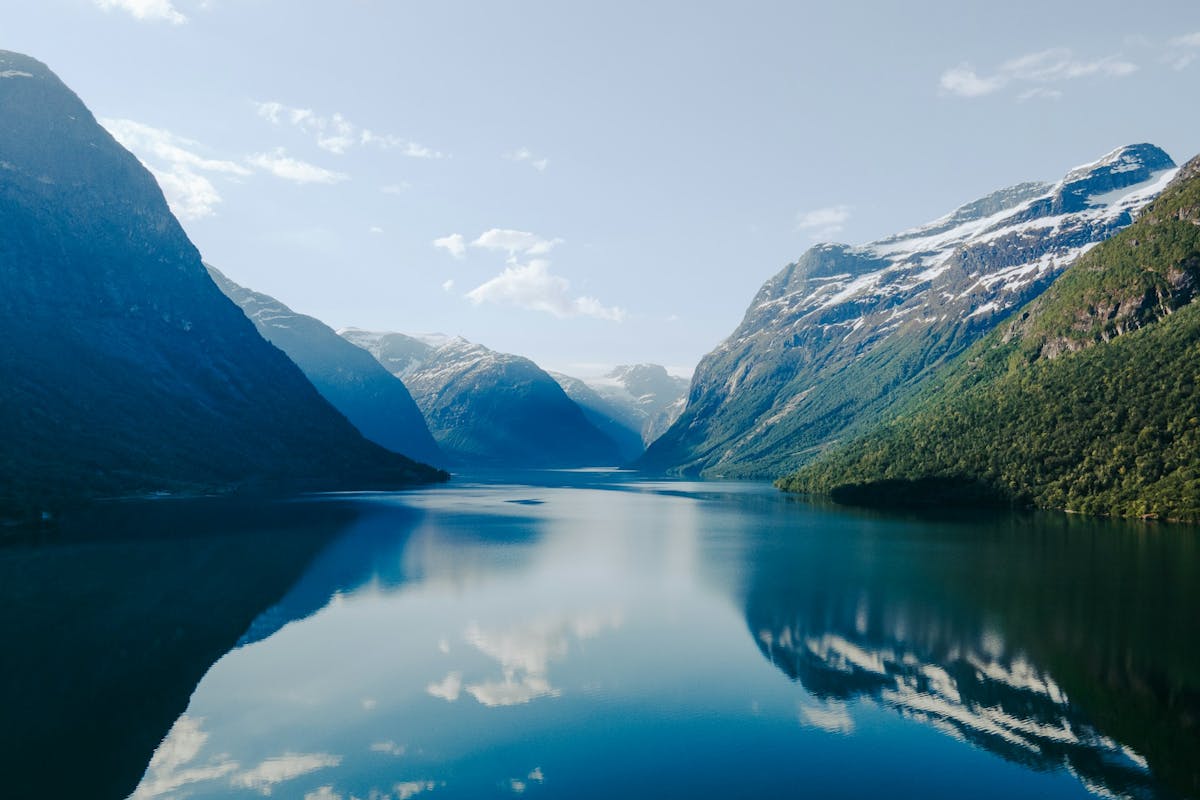
Stunning Fjords of Norway
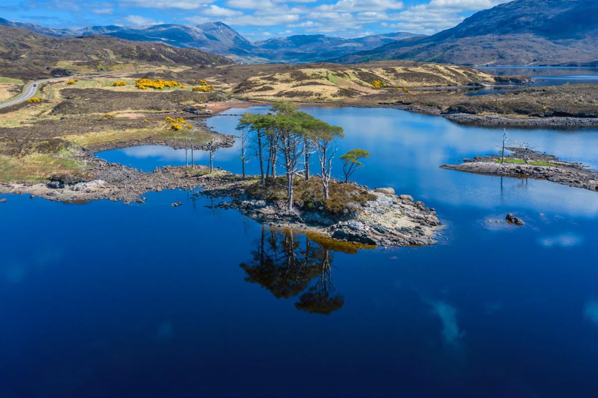
Impressive natural heritage in the Scottish highlands
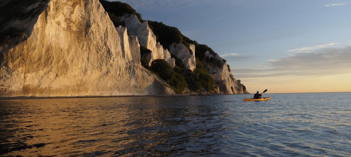
Endless horizons on the coast of Denmark
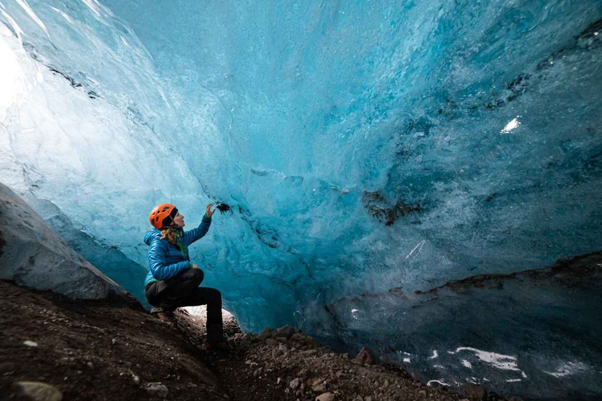
Glaciers and Volcanos in rugged Iceland
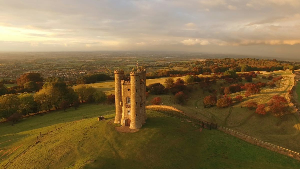
Knights & castles in historic England
Engage with the local people of Ireland

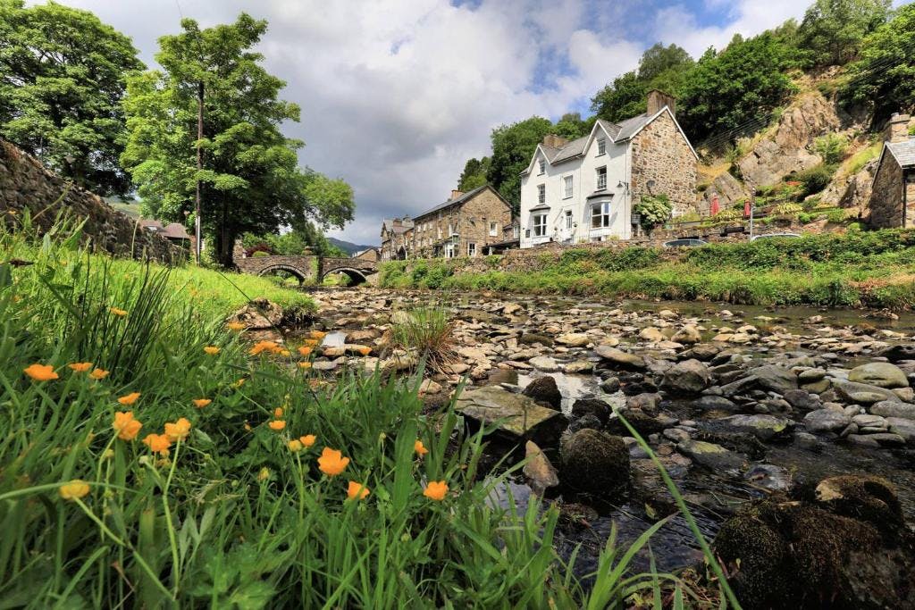
Relaxing in a local bed & breakfast in Wales
Ravlling is a proud partner of almost 100 local tourist offices