Hike to Manen from Uskedalen
Fjords, Norway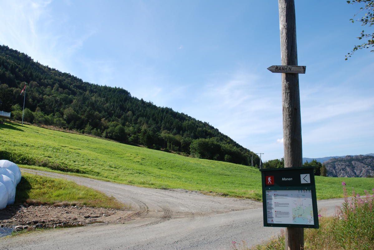
Location: Ulskedalen.
Map: Folgefonna National Park.
Start and stopping point: The parking lot by Padlane at Eik.
Parking: Leave highway 48 by the bridge that crosses the Eikelva river, towards Husnes. Follow the Eikevegen road 800 meters uphill to a small parking lot where the markings begin.
Marking: Information Board by the parking lot. Signs and T Markings.
Grading: Red. A somewhat challenging hike, four boots according to the DNT system.
Difference in altitude: 60 - 1014m AMSL.
Estimated Time: 5 hours round trip.
Recommended advice: The terrain can be marshy in places. Please use appropriate footwear. As an alternate way down, you may go towards Herøysundet or Husnes, see map.
Overview: Follow the markings from the parking lot, through farm yards, up the forest road and to the path. The beginning is steep, but the terrain gets lighter eventually through old pine forests and marshes. The path continues over solid rock. There is a magnificent view of Sunnhordland from the top.
Destination
Hardangerfjord
Country
Norway
Type of experience
Outdoor
Best time to visit
- Spring
- Autumn
- Summer
Nearby stations
- Voss Airport
- Voss Station
Together, Ravlling and Visit Norway encourage travel in Norway.

Click here to find out more about our partnerships
Ravlling's Conscious experience highlights


Get inspired
Browse around the most wonderful green travel destinations, stays and experiences.
Booking is easy!
Get inspired
Browse around the most wonderful green travel destinations, stays and experiences.
Booking is easy!
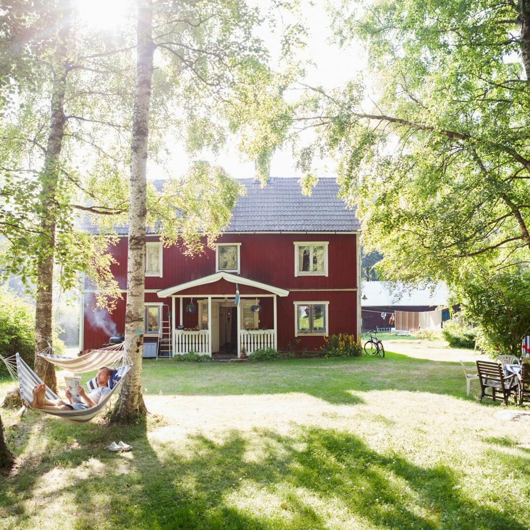
Unique cabins in outdoor Sweden
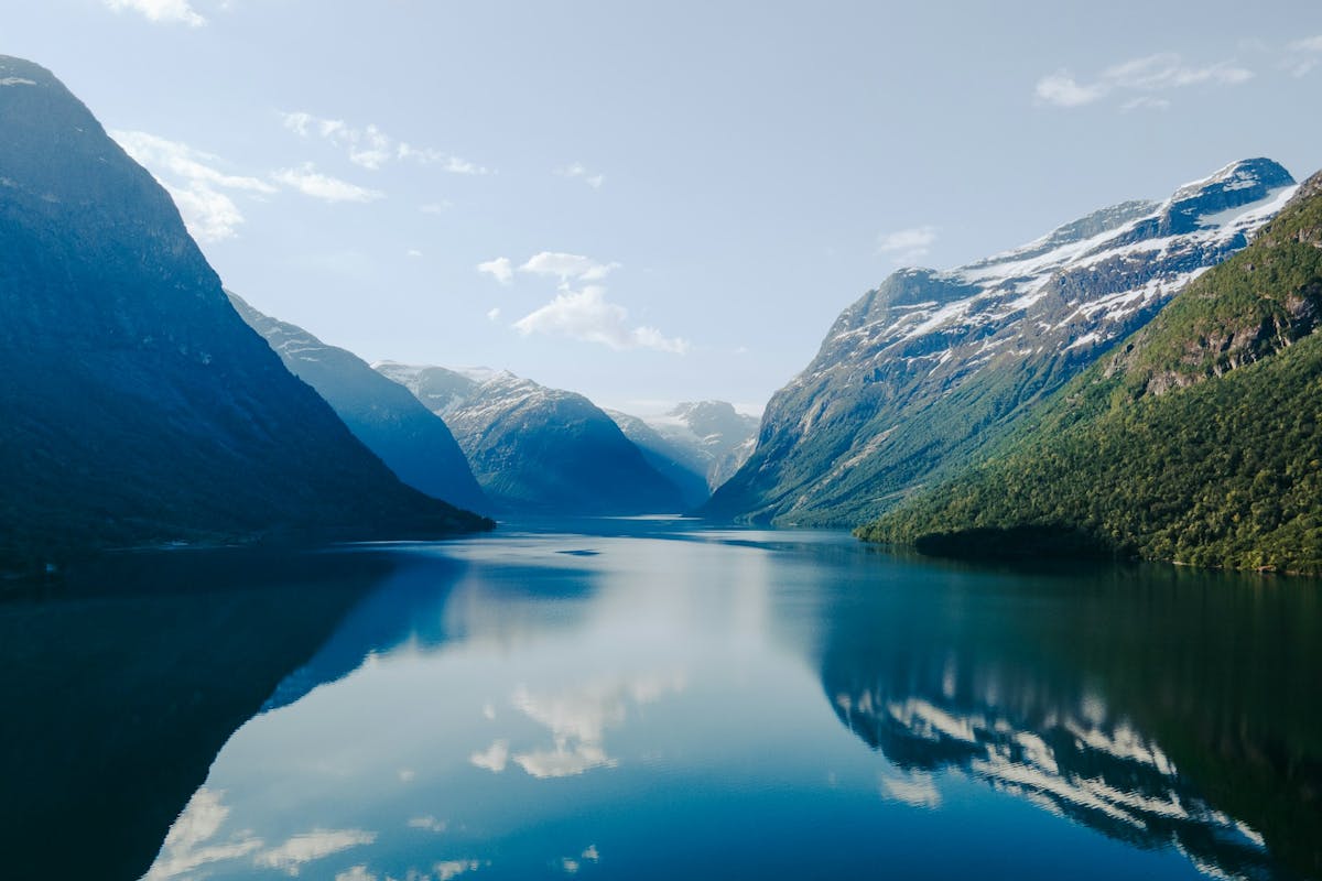
Stunning Fjords of Norway
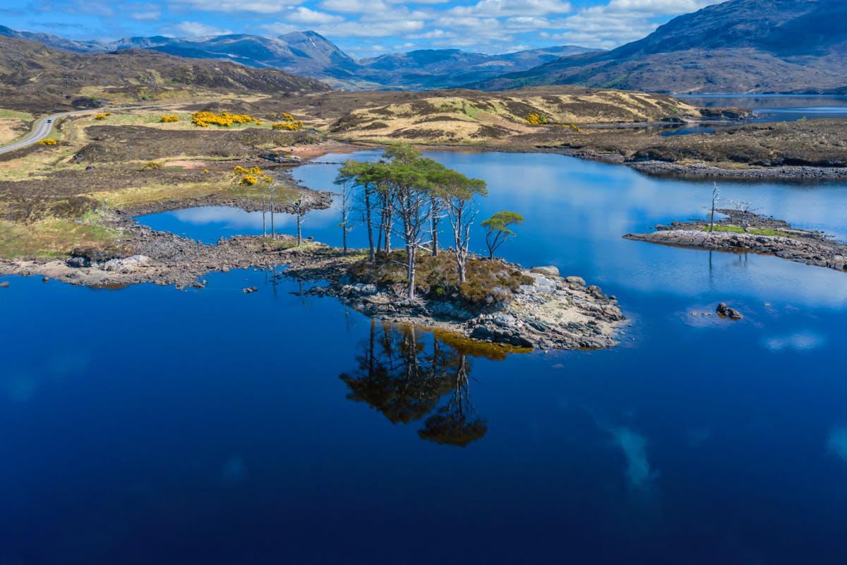
Impressive natural heritage in the Scottish highlands
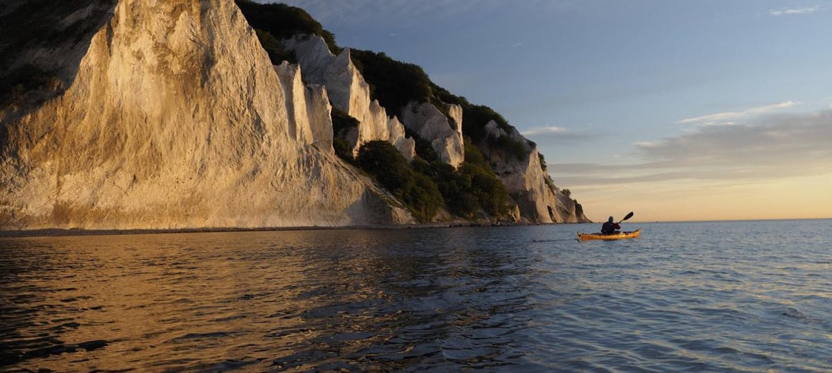
Endless horizons on the coast of Denmark
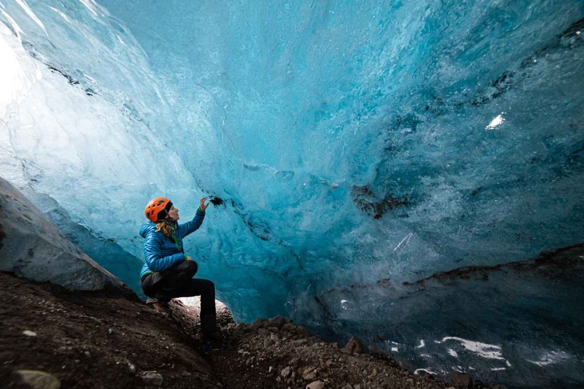
Glaciers and Volcanos in rugged Iceland
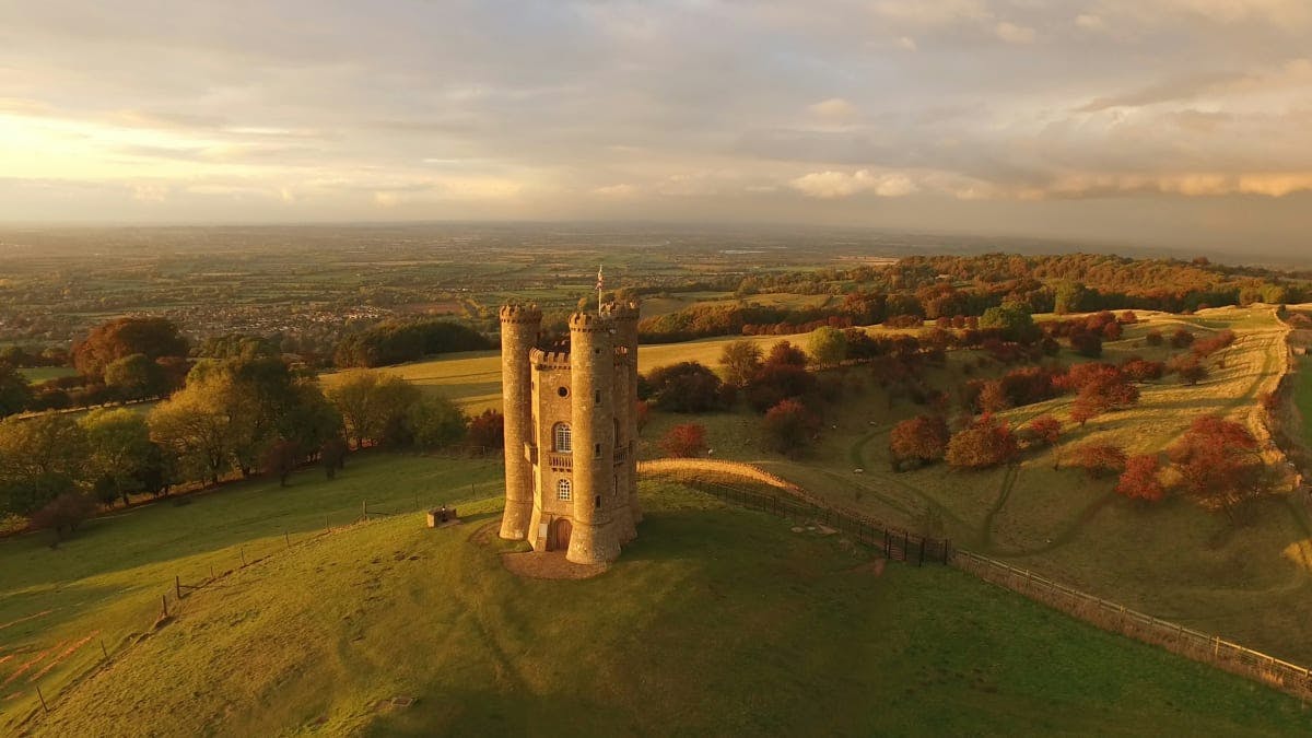
Knights & castles in historic England
Engage with the local people of Ireland

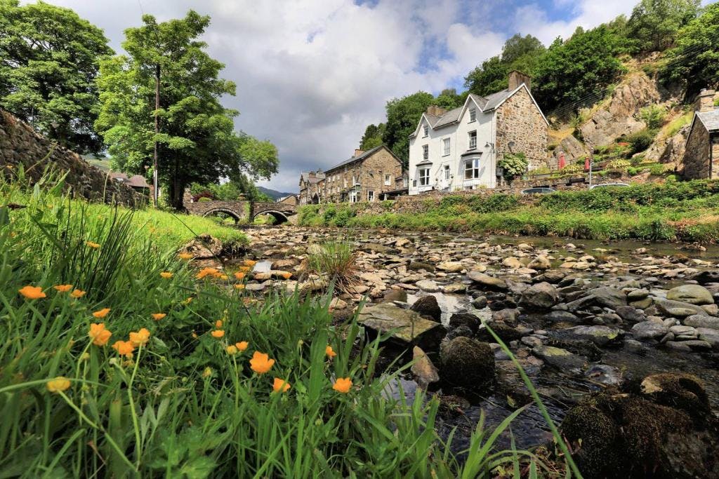
Relaxing in a local bed & breakfast in Wales
Ravlling is a proud partner of almost 100 local tourist offices