


Apartments
Beautiful Apartment In Uggdal With Kitchen
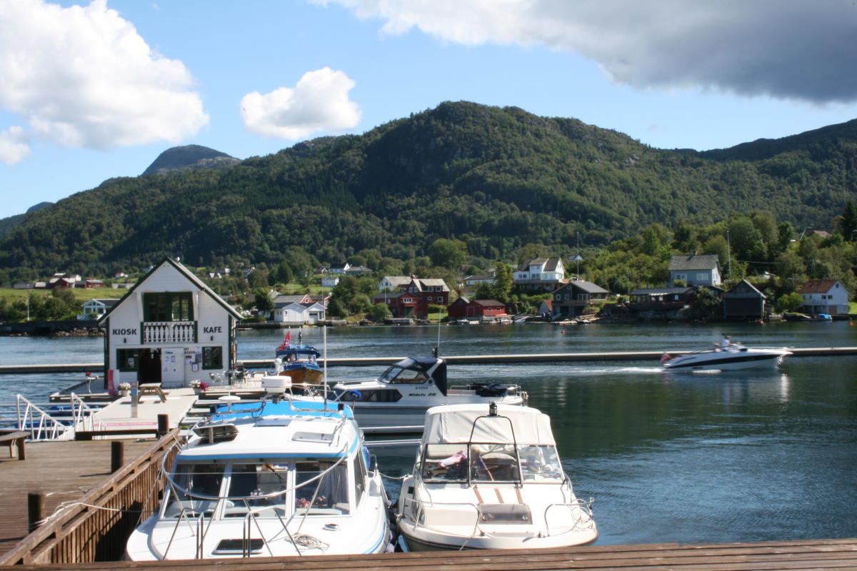
Uggdal
Select your travel preferences and be ready to explore the unexplored!
Search here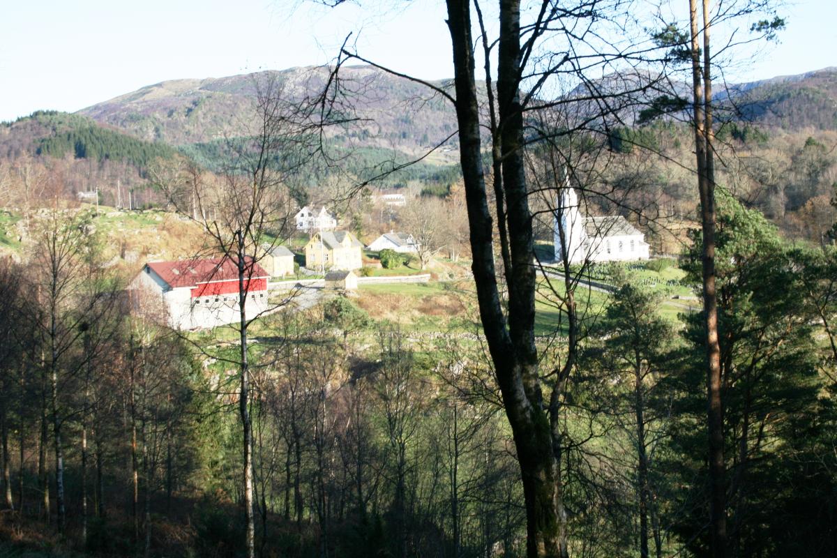
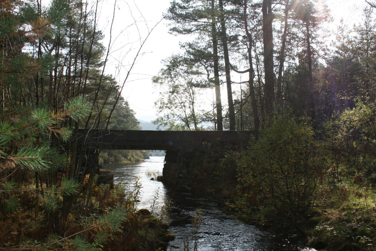
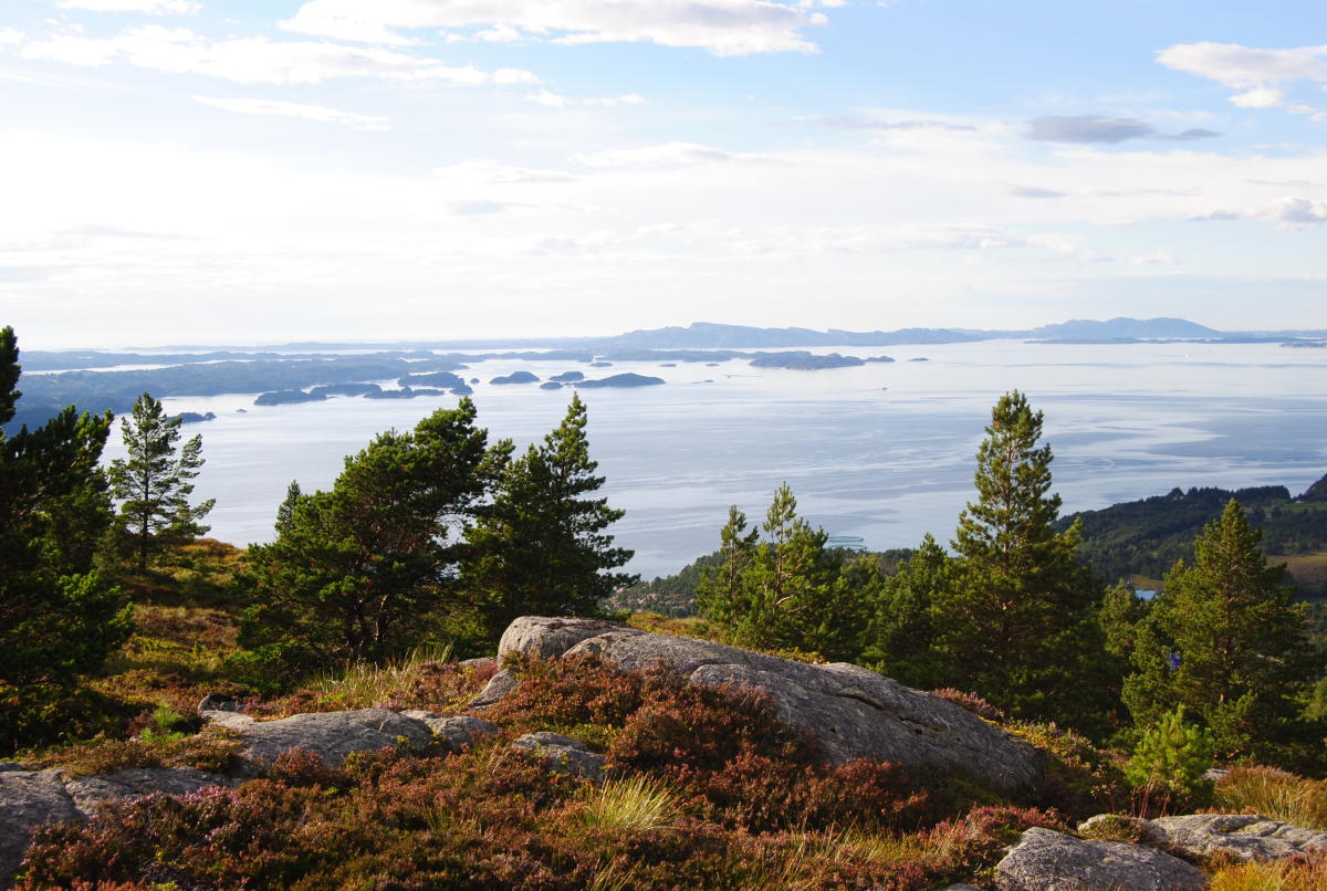
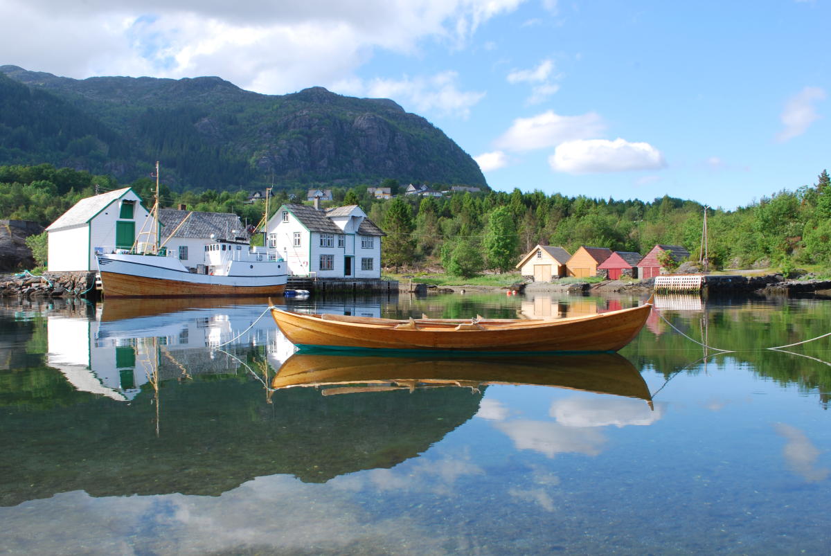
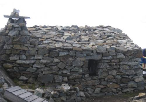
Altitude difference: 0-48 metresEstimated time: 1 hour, Distance: 3. 5 km there and backWalking map: Tysnes 1: 50 000Starting point and parking: Exit road at the tunnel at UggdalOverview: Circular trail from the car park at Heningen in Uggdal. From Hallgjerdsvika, you pass a number of cabins and then continue up a steep forest road to the right. Take a detour down to the beautiful bathing spot and recreational area...
This information is provided by
Filter your options
Apartments
Beautiful Apartment In Uggdal With Kitchen
Uggdal

Apartments
Apartment Heningen - FJH602 by Interhome
Uggdal

Apartments
Apartment Rorbuen - FJH601 by Interhome
Uggdal

Holiday homes
Holiday Home Rødehuset - FJH670 by Interhome
Gjelland

Apartments
Flott leilighet på Tysnes
Tysnes

Holiday homes
Holiday Home Bjørkeneset - FJH621 by Interhome
Uggdal

Holiday homes
Holiday Home Laksevågen - FJH614 by Interhome
Bruntveit
Filter your options
Nature
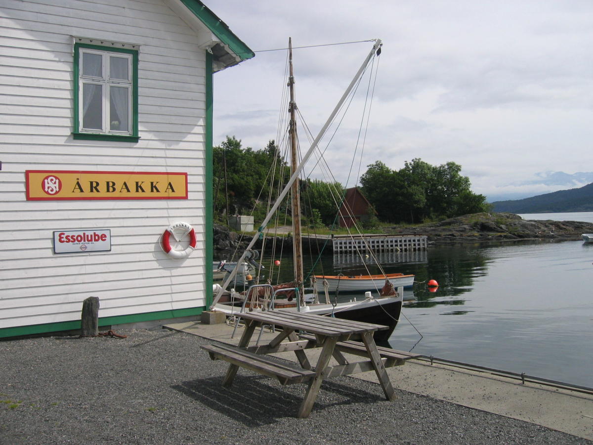
Bicycle rental at Årbakka Trading Post
Hardangerfjord
Nature
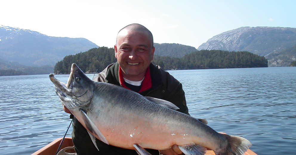
Tysnes fishing guide
Sunnhordland
Outdoor
Ramsberget on the island Fonno
Sunnhordland
Outdoor
Hike - Ramnanuten
Hardangerfjord
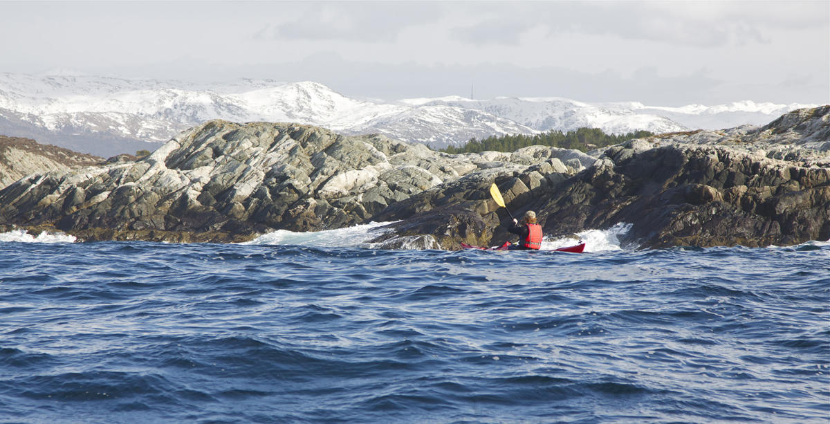
Outdoor
Paddle - Fitjar and Bømlo islands
Sunnhordland
Nature
Round trip Tysnes (43, 5 km)
Hardangerfjord
Outdoor
Hike to Stussvikhovda
Hardangerfjord
Nature
Route review Flatråkervassdraget 31km
Hardangerfjord
Outdoor
Gjøvågsvarden
Sunnhordland
Outdoor
The cultural trail in Fitjar
Sunnhordland
Nature
Cycling in Kråko Sea Cabin area (13. 5 km)
Sunnhordland
Culture
Årbakkavollen
Hardangerfjord
Culture
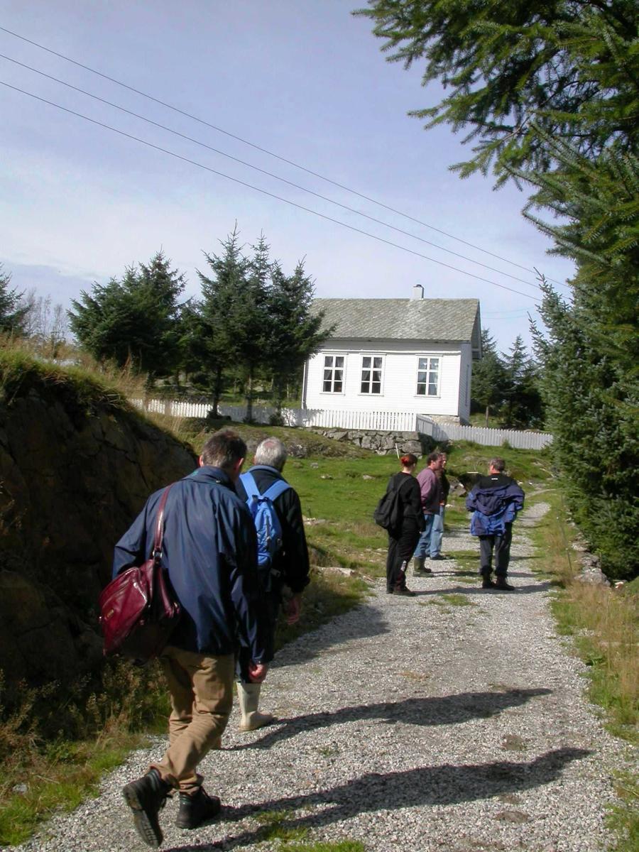
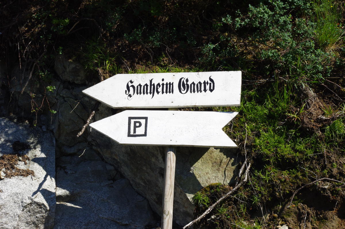
Ferdslevegen in Uggdalsdalen
Hardangerfjord
Culture
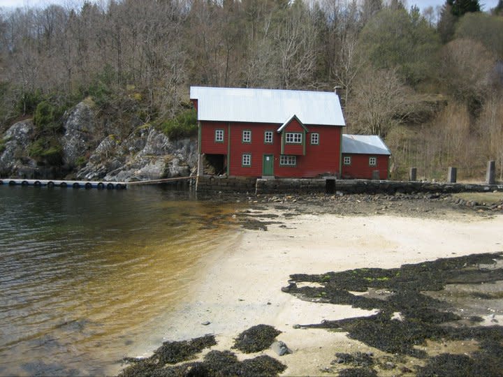
Møllo - Vinnes
Sunnhordland
Nature
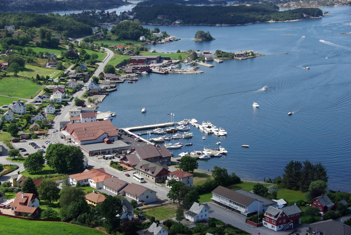
Tourist Information Fitjar
Sunnhordland
Outdoor
Tindaslottet
Sunnhordland
Ravlling carefully curates relevant information from the web to translate them into meaningful results. The information is provided by


1/0