Likkistefjell
Norefjell, Norway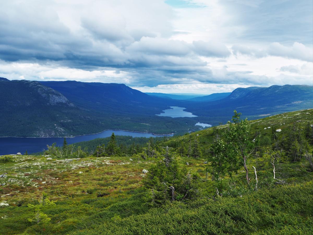
Likkistefjell, 990 m. a. s. l. is an easy trip through path, dirt road and swamps. Bring waterproof shoes.
Drive Southeast from Flå centre, take left in the roundabout (Fv203), then follow signs towards Vassfaret natursti. Drive on dirt road for 12 kilometers.
Starting point: Parking spot by Øyvatn and Vassfaret natursti. Follow blue-marked signs "Natursti" all the way to the top. When you see information board number 4 and 5, you have reached the top. The path is 3 kilometers and has an altitude of 180 meters.
When you reach the top, you get a great view, and you can see Vassfaret, Hadeland, Sørbølfjell, Norefjell, Høgevarde, Gråfjell, Gaustatoppen, Haglebu, Blåfjell and other mountains nearby. You can also spot the mountains in upper Hallingdal, Hemsedal and Valdres. In older maps, this mountain is called Veslefjell.
The trail is included in the hiking booklet bought at Thon Hotel Bjørneparken or the service center at Veksthuset (Norwegian text only).
Destination
Hallingdal
Country
Norway
Type of experience
Outdoor
Best time to visit
- Spring
- Autumn
- Summer
Nearby stations
- Gol Station
Together, Ravlling and Visit Norway encourage travel in Norway.

Click here to find out more about our partnerships
Ravlling's Conscious experience highlights


Get inspired
Browse around the most wonderful green travel destinations, stays and experiences.
Booking is easy!
Get inspired
Browse around the most wonderful green travel destinations, stays and experiences.
Booking is easy!
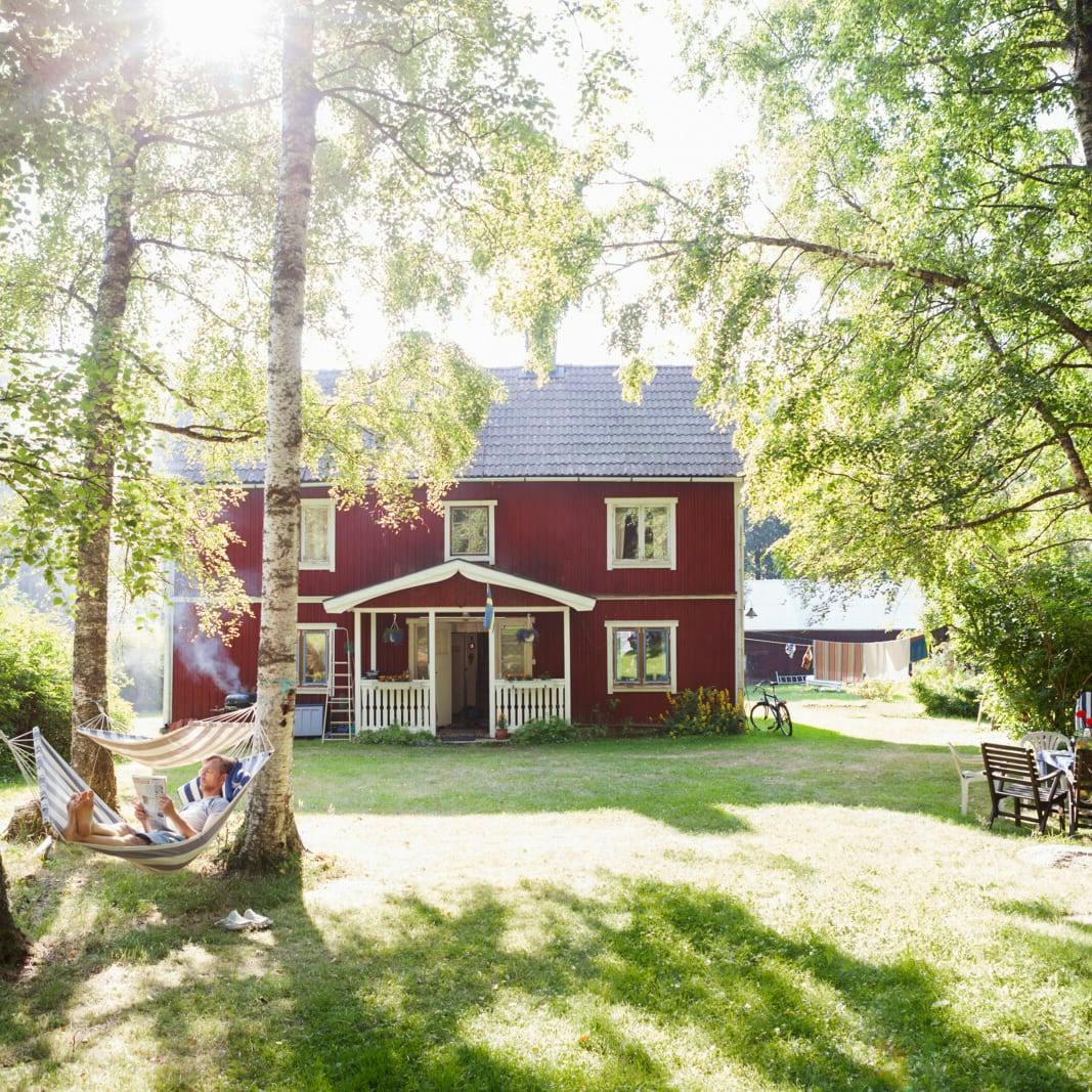
Unique cabins in outdoor Sweden
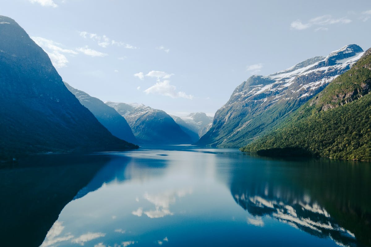
Stunning Fjords of Norway
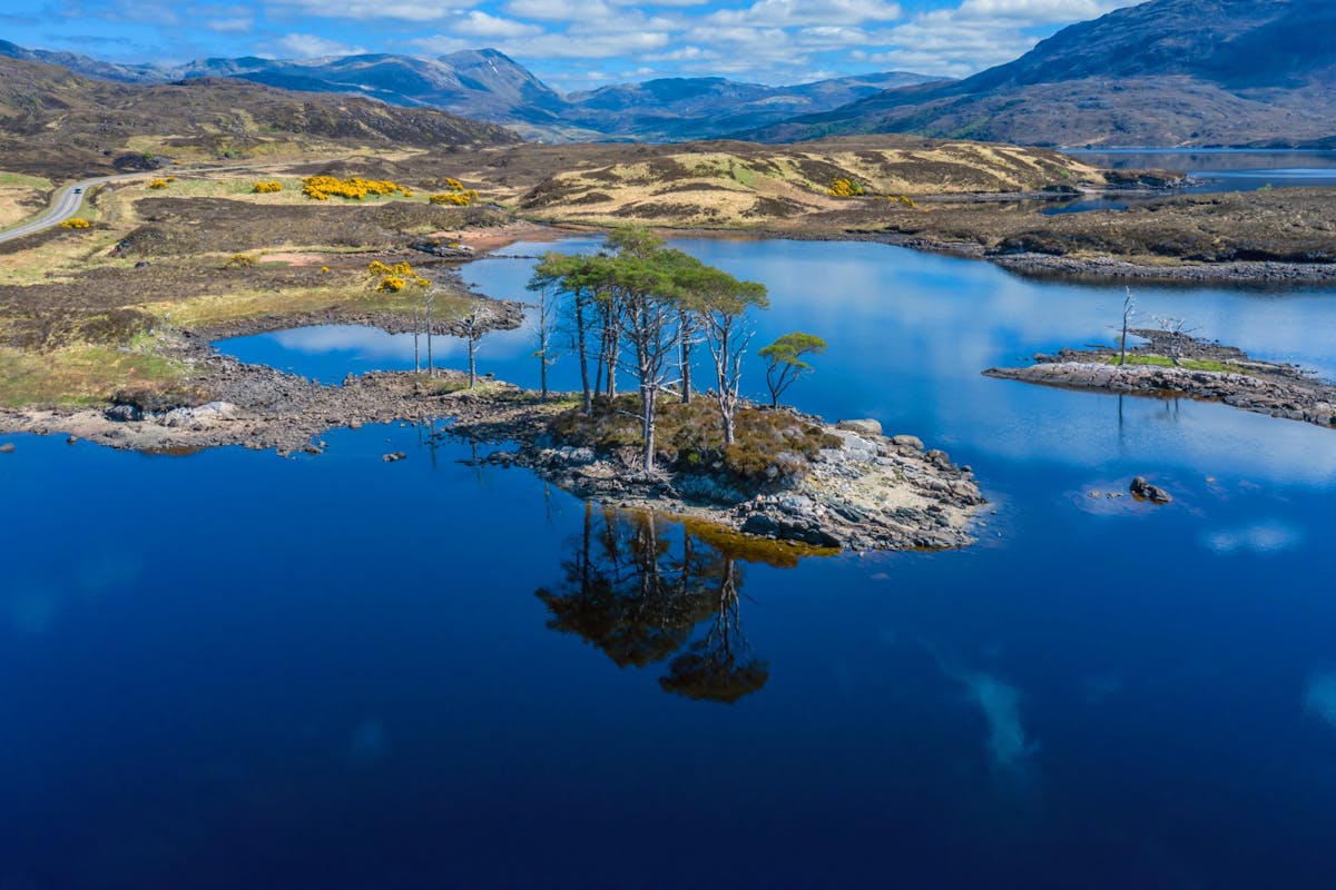
Impressive natural heritage in the Scottish highlands
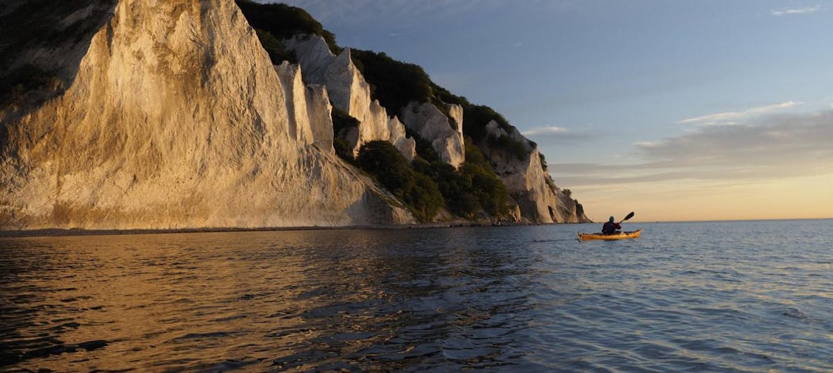
Endless horizons on the coast of Denmark
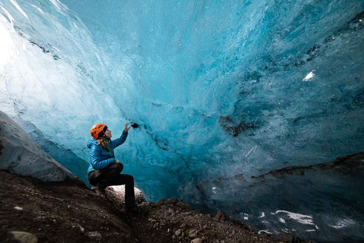
Glaciers and Volcanos in rugged Iceland
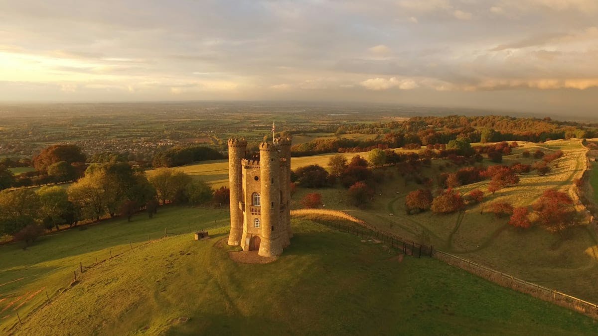
Knights & castles in historic England
Engage with the local people of Ireland

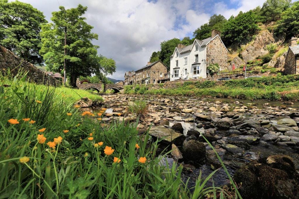
Relaxing in a local bed & breakfast in Wales
Ravlling is a proud partner of almost 100 local tourist offices