Kulufossen
Hallingdal, Norway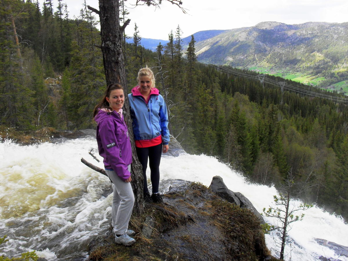
Nice hike in forest terrain with view over Ål centrum.
The path goes partially on an old road. Go towards Haugen and follow the walkway under the railway.
Follow the marked trail to Hallingspretten up to Hefte. Marked path from there to Kulufossen. For a roundtrip, you can follow the path down on the west side of Kulufossen, marked with Skjølet. There is no security around the waterfall.
Press the link for detailed map and height profile for this hike.
A more detailed map: Veståsen 1: 50 000
Map over Kulufossen - pdf
Elevation profile Kulufossen - pdf
Destination
Ål
Country
Norway
Type of experience
Outdoor
Best time to visit
- Spring
- Autumn
- Summer
Nearby stations
- Torpo Stasjon
- Ål Station
Together, Ravlling and Visit Norway encourage travel in Norway.

Click here to find out more about our partnerships
Ravlling's Conscious experience highlights


Get inspired
Browse around the most wonderful green travel destinations, stays and experiences.
Booking is easy!
Get inspired
Browse around the most wonderful green travel destinations, stays and experiences.
Booking is easy!
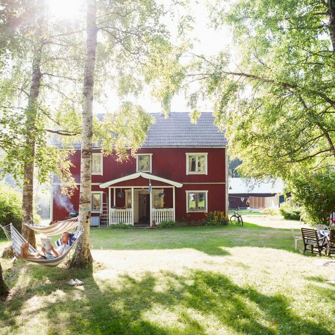
Unique cabins in outdoor Sweden
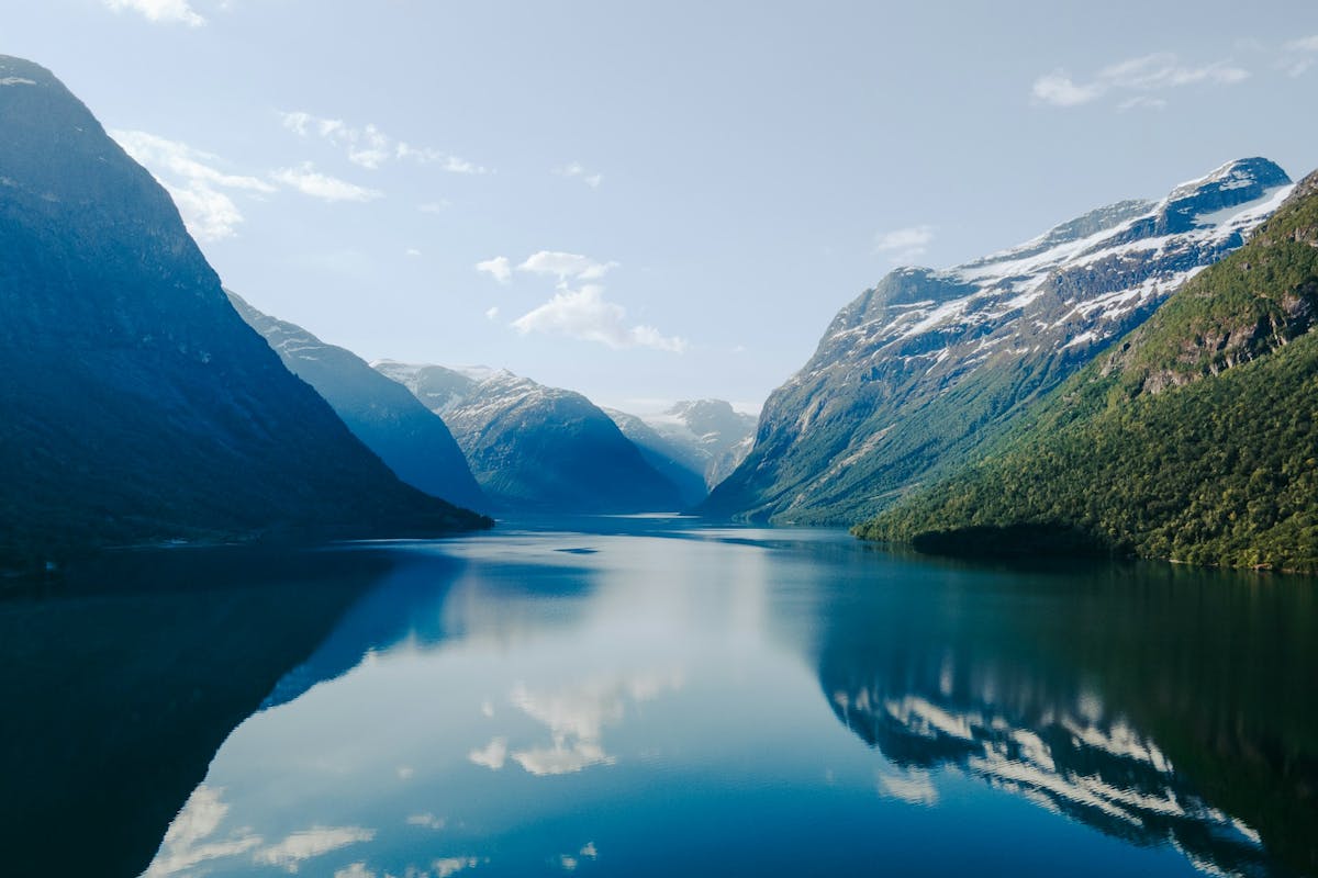
Stunning Fjords of Norway
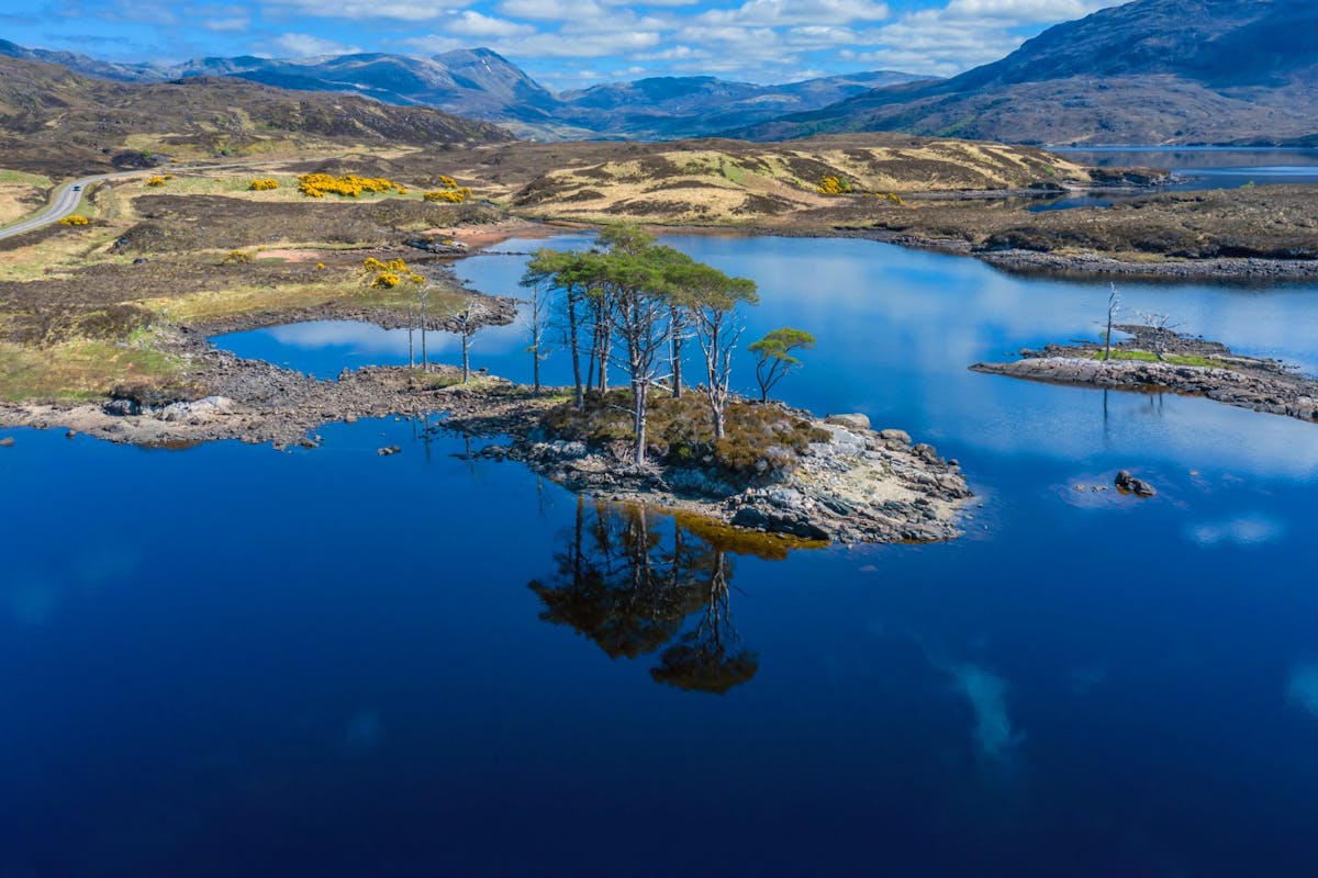
Impressive natural heritage in the Scottish highlands
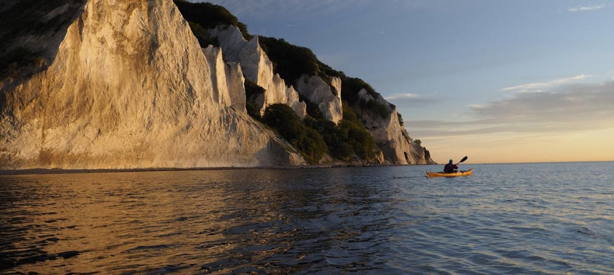
Endless horizons on the coast of Denmark
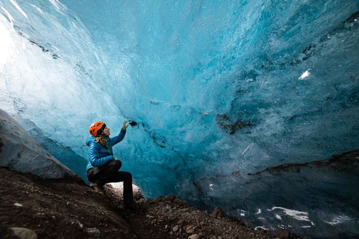
Glaciers and Volcanos in rugged Iceland
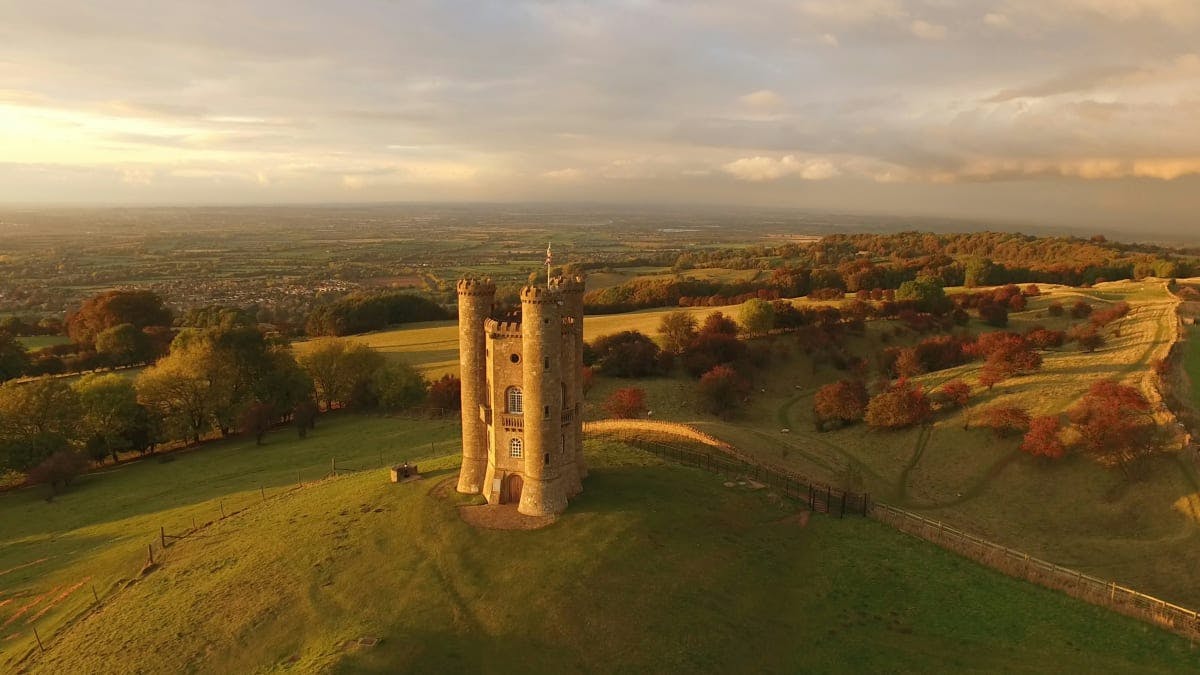
Knights & castles in historic England
Engage with the local people of Ireland

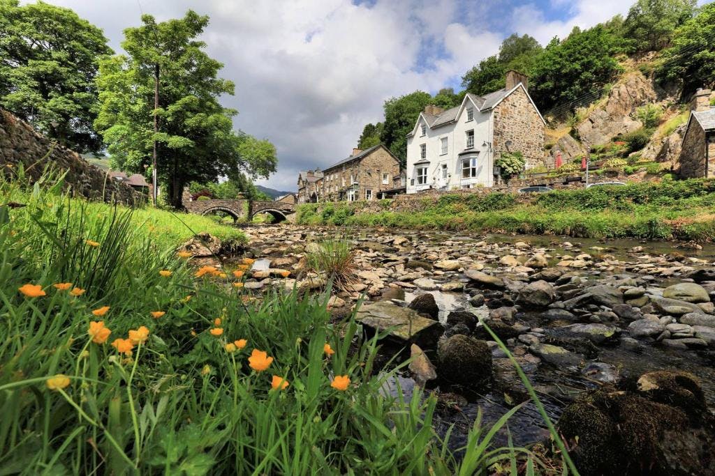
Relaxing in a local bed & breakfast in Wales
Ravlling is a proud partner of almost 100 local tourist offices